Bad Harzburg night lights from space
Night Light of Bad Harzburg (Lower Saxony) from space (Germany) Src. Average luminocity for 10x10km area is 5.197% and for 50x50km: 2.1694%.
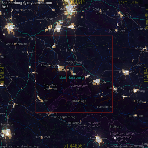
Analysis of Bad Harzburg night lights 2016
Square area 10x10 km:
 0%
0%90-99
0.51%80-89
0%70-79
1.26%60-69
1.01%50-59
1.26%40-49
1.01%30-39
2.02%20-29
0.51%10-19
1.01%0-9
91.41%Square area 50x50 km:
0.22%90-99
0.35%80-89
0.14%70-79
0.39%60-69
0.28%50-59
0.37%40-49
0.15%30-39
0.29%20-29
0.18%10-19
0.59%0-9
97.03%Clear (daylight) street map image can be seen on geolist.org.
Map coordinates:
52° 18' 52.6" North, 9° 51' 30.4" East
51° 52' 57.6" North, 10° 33' 41.7" East
51° 26' 47.6" North, 11° 15' 52.9" East
Some cities around Bad Harzburg sort by population:
• Goslar
9.5 km =5.9 mi,  284°
284°
• Wernigerode
16 km =9.9 mi,  108°
108°
• Clausthal-Zellerfeld
17.4 km =10.8 mi,  242°
242°
• Langelsheim
16.9 km =10.5 mi,  291°
291°
• Vienenburg
7.8 km =4.8 mi,  1°
1°
• Ilsenburg
8.2 km =5.1 mi,  102°
102°
• Schladen
15.6 km =9.7 mi,  354°
354°
• Braunlage
17.7 km =11 mi,  168°
168°
2953449 (p: 22,954)
Sources (retrieved 2019-11-25):
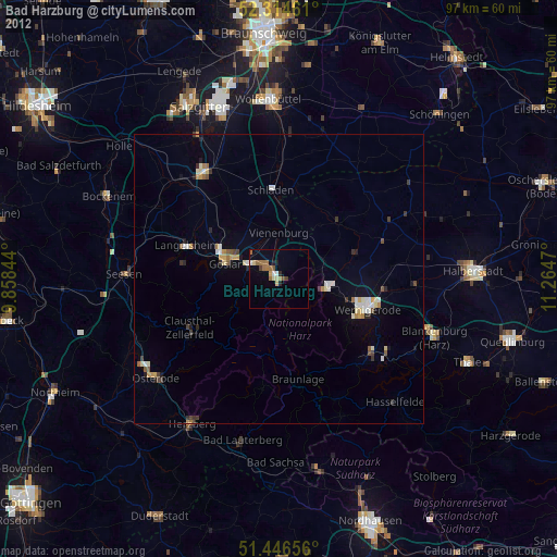
» Earth at Night: Flat Maps 2012, 2016