Clausthal-Zellerfeld night lights from space
Night Light of Clausthal-Zellerfeld (Lower Saxony) from space (Germany) Src. Average luminocity for 10x10km area is 1.5882% and for 50x50km: 1.6503%.
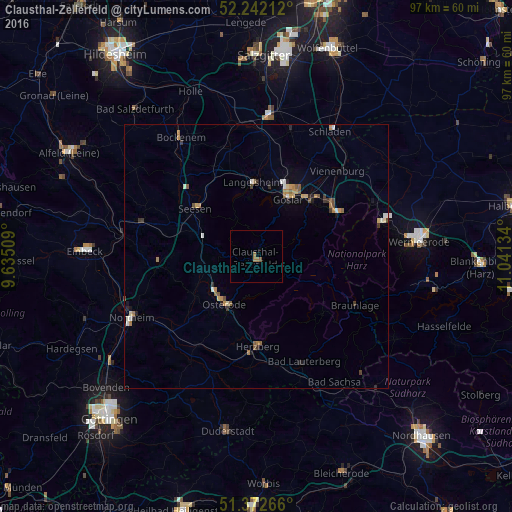
Analysis of Clausthal-Zellerfeld night lights 2016
Square area 10x10 km:
 0%
0%90-99
0%80-89
0%70-79
0%60-69
1.68%50-59
0.56%40-49
0%30-39
0%20-29
0%10-19
0%0-9
97.76%Square area 50x50 km:
0.12%90-99
0.23%80-89
0.13%70-79
0.33%60-69
0.33%50-59
0.32%40-49
0.14%30-39
0.26%20-29
0.26%10-19
0.3%0-9
97.59%Clear (daylight) street map image can be seen on geolist.org.
Map coordinates:
52° 14' 31.6" North, 9° 38' 6.3" East
51° 48' 34.2" North, 10° 20' 17.6" East
51° 22' 21.6" North, 11° 2' 28.8" East
Some cities around Clausthal-Zellerfeld sort by population:
• Goslar
12.2 km =7.6 mi,  30°
30°
• Bad Harzburg
17.4 km =10.8 mi,  62°
62°
• Seesen
14.2 km =8.8 mi,  309°
309°
• Herzberg am Harz
17.1 km =10.6 mi,  179°
179°
• Langelsheim
14.3 km =8.9 mi,  358°
358°
• Katlenburg-Lindau
21.6 km =13.4 mi,  229°
229°
• Kalefeld
21 km =13 mi,  267°
267°
• Braunlage
20.9 km =13 mi,  116°
116°
2939995 (p: 15,345)
Sources (retrieved 2019-11-25):
» Earth at Night: Flat Maps 2012, 2016