Ellrich night lights from space
Night Light of Ellrich (Thuringia) from space (Germany) Src. Average luminocity for 10x10km area is 0.4024% and for 50x50km: 1.8715%.
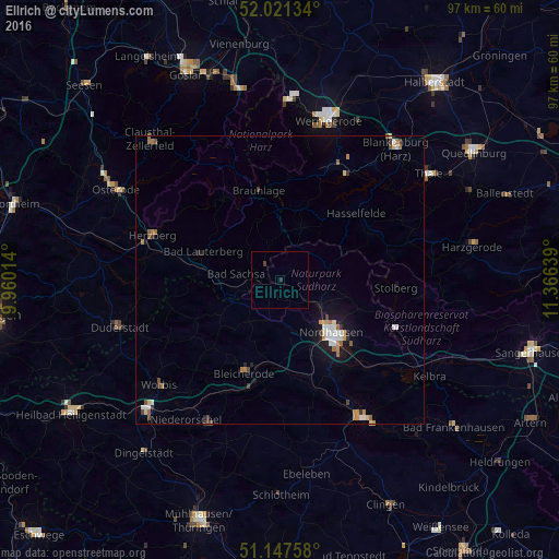
Analysis of Ellrich night lights 2016
Square area 10x10 km:
 0%
0%90-99
0%80-89
0%70-79
0%60-69
0%50-59
0%40-49
0.4%30-39
0.13%20-29
0.53%10-19
0%0-9
98.93%Square area 50x50 km:
0.24%90-99
0.31%80-89
0.17%70-79
0.21%60-69
0.38%50-59
0.22%40-49
0.19%30-39
0.23%20-29
0.17%10-19
1.06%0-9
96.81%Clear (daylight) street map image can be seen on geolist.org.
Map coordinates:
52° 1' 16.8" North, 9° 57' 36.5" East
51° 35' 11.6" North, 10° 39' 47.7" East
51° 8' 51.3" North, 11° 21' 59" East
Some cities around Ellrich sort by population:
• Nordhausen
13.1 km =8.1 mi,  135°
135°
• Sondershausen
28 km =17.4 mi,  149°
149°
• Herzberg am Harz
23.6 km =14.7 mi,  288°
288°
• Bad Lauterberg im Harz
14.3 km =8.9 mi, 291°
• Bad Sachsa
7.5 km =4.7 mi,  277°
277°
• Bleicherode
17.4 km =10.8 mi,  201°
201°
• Worbis
27.8 km =17.3 mi,  228°
228°
• Braunlage
16 km =9.9 mi,  346°
346°
2930900 (p: 6,423)
Sources (retrieved 2019-11-25):
» Earth at Night: Flat Maps 2012, 2016