Bischofsheim an der Rhön night lights from space
Night Light of Bischofsheim an der Rhön (Bavaria) from space (Germany) Src. Average luminocity for 10x10km area is 0% and for 50x50km: 1.8153%.
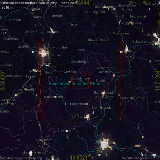
Analysis of Bischofsheim an der Rhön night lights 2016
Square area 10x10 km:
 0%
0%90-99
0%80-89
0%70-79
0%60-69
0%50-59
0%40-49
0%30-39
0%20-29
0%10-19
0%0-9
100%Square area 50x50 km:
0.29%90-99
0.31%80-89
0.13%70-79
0.19%60-69
0.24%50-59
0.24%40-49
0.32%30-39
0.18%20-29
0.35%10-19
1.27%0-9
96.49%Clear (daylight) street map image can be seen on geolist.org.
Map coordinates:
50° 50' 54.4" North, 9° 18' 15.8" East
50° 24' 8.6" North, 10° 0' 27" East
49° 57' 7.6" North, 10° 42' 38.3" East
Some cities around Bischofsheim an der Rhön sort by population:
• Bad Kissingen
22.8 km =14.2 mi,  167°
167°
• Bad Neustadt an der Saale
16.7 km =10.4 mi,  122°
122°
• Münnerstadt
22.2 km =13.8 mi,  141°
141°
• Burkardroth
14.6 km =9.1 mi,  184°
184°
• Bad Brückenau
18.6 km =11.6 mi,  235°
235°
• Gersfeld
8.6 km =5.3 mi,  309°
309°
• Mellrichstadt
21.2 km =13.2 mi,  82°
82°
• Oberthulba
22.9 km =14.2 mi,  188°
188°
2948287 (p: 5,181)
Sources (retrieved 2019-11-25):
» Earth at Night: Flat Maps 2012, 2016