Birkenfeld night lights from space
Night Light of Birkenfeld (Baden-Württemberg) from space (Germany) Src. Average luminocity for 10x10km area is 25.4773% and for 50x50km: 15.7082%.
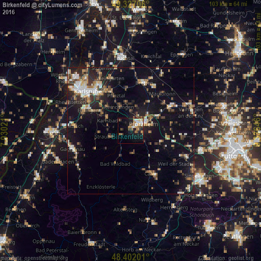
Analysis of Birkenfeld night lights 2016
Square area 10x10 km:
 3.27%
3.27%90-99
4.26%80-89
2.27%70-79
4.69%60-69
4.55%50-59
2.84%40-49
3.98%30-39
2.27%20-29
4.26%10-19
18.89%0-9
48.72%Square area 50x50 km:
1.62%90-99
2.46%80-89
1.54%70-79
1.78%60-69
2.08%50-59
2.19%40-49
2.24%30-39
2.48%20-29
4.22%10-19
13.78%0-9
65.63%Clear (daylight) street map image can be seen on geolist.org.
Map coordinates:
49° 19' 37.4" North, 7° 55' 48.8" East
48° 52' 0" North, 8° 37' 60" East
48° 24' 7.2" North, 9° 20' 11.3" East
Some cities around Birkenfeld sort by population:
• Pforzheim
5.2 km =3.2 mi,  67°
67°
• Niefern-Öschelbronn
12.3 km =7.6 mi,  63°
63°
• Königsbach-Stein
11.2 km =7 mi,  349°
349°
• Bad Liebenzell
12.5 km =7.8 mi,  145°
145°
• Schömberg
8.9 km =5.5 mi,  174°
174°
• Neuenbürg
3.6 km =2.2 mi,  228°
228°
• Ispringen
6.1 km =3.8 mi,  23°
23°
• Eutingen an der Enz
9.9 km =6.2 mi, 58°
2948598 (p: 10,609)
Sources (retrieved 2019-11-25):
» Earth at Night: Flat Maps 2012, 2016