Pforzheim night lights from space
Night Light of Pforzheim (Baden-Württemberg) from space (Germany) Src. Average luminocity for 10x10km area is 41.3764% and for 50x50km: 15.8426%.
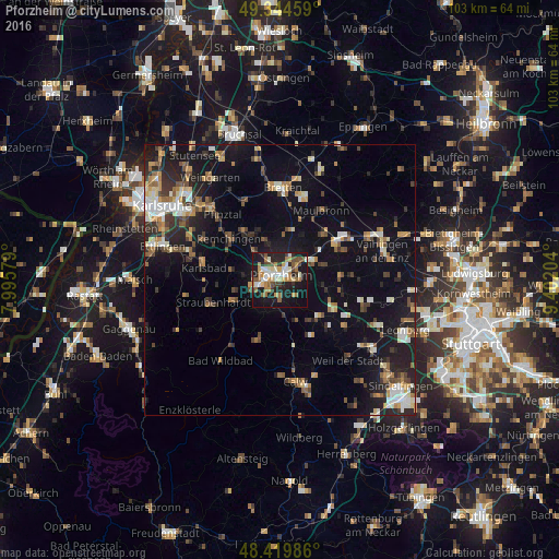
Analysis of Pforzheim night lights 2016
Square area 10x10 km:
 4.69%
4.69%90-99
8.52%80-89
4.12%70-79
5.97%60-69
9.23%50-59
3.84%40-49
6.68%30-39
2.98%20-29
13.92%10-19
34.09%0-9
5.97%Square area 50x50 km:
1.55%90-99
2.33%80-89
1.57%70-79
1.92%60-69
2.16%50-59
2.17%40-49
2.24%30-39
2.34%20-29
4.43%10-19
14.06%0-9
65.22%Clear (daylight) street map image can be seen on geolist.org.
Map coordinates:
49° 20' 40.5" North, 7° 59' 44.8" East
48° 53' 3.7" North, 8° 41' 56.1" East
48° 25' 11.5" North, 9° 24' 7.3" East
Some cities around Pforzheim sort by population:
• Niefern-Öschelbronn
7.1 km =4.4 mi,  59°
59°
• Birkenfeld
5.2 km =3.2 mi,  247°
247°
• Königsbach-Stein
11.3 km =7 mi,  323°
323°
• Neuenbürg
8.7 km =5.4 mi,  239°
239°
• Wiernsheim
11 km =6.8 mi,  90°
90°
• Ispringen
4.3 km =2.7 mi,  326°
326°
• Tiefenbronn
10.1 km =6.3 mi,  131°
131°
• Eutingen an der Enz
4.8 km =3 mi,  49°
49°
2853969 (p: 119,313)
Sources (retrieved 2019-11-25):
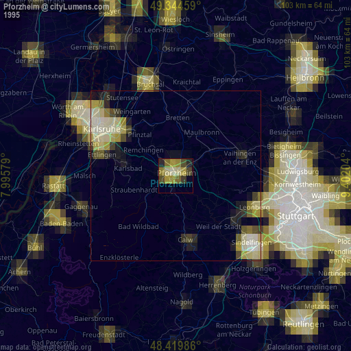
» NASA, Earths city lights 1995
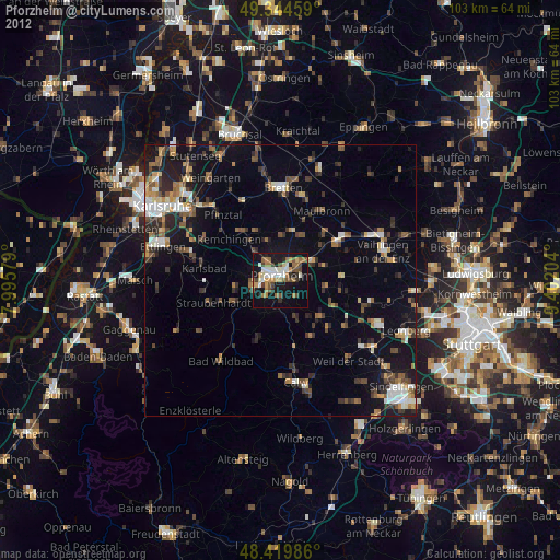
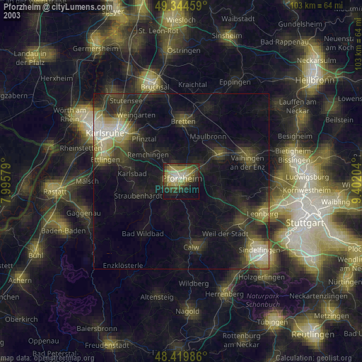
» NASA city lights 2003
» Earth at Night: Flat Maps 2012, 2016