Bingen am Rhein night lights from space
Night Light of Bingen am Rhein (Rheinland-Pfalz) from space (Germany) Src. Average luminocity for 10x10km area is 19.0364% and for 50x50km: 7.8773%.
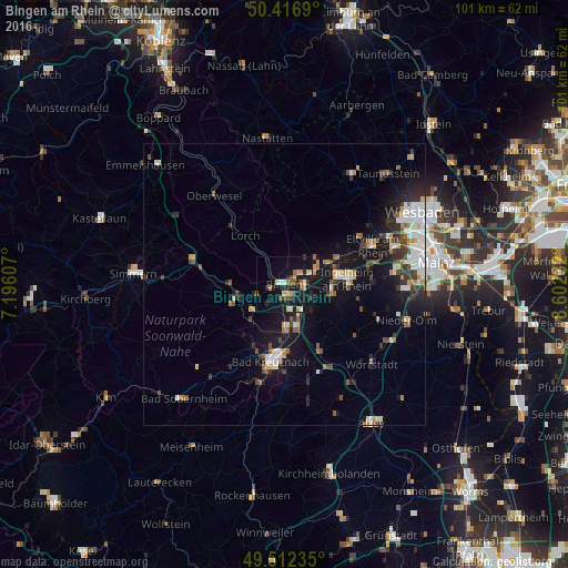
Analysis of Bingen am Rhein night lights 2016
Square area 10x10 km:
 0.98%
0.98%90-99
2.24%80-89
2.8%70-79
3.36%60-69
1.4%50-59
2.52%40-49
3.92%30-39
1.4%20-29
5.18%10-19
24.65%0-9
51.54%Square area 50x50 km:
1.35%90-99
1.31%80-89
0.7%70-79
0.72%60-69
0.81%50-59
0.88%40-49
1.13%30-39
1.25%20-29
1.78%10-19
6.79%0-9
83.29%Clear (daylight) street map image can be seen on geolist.org.
Map coordinates:
50° 25' 0.8" North, 7° 11' 45.9" East
49° 58' 0.3" North, 7° 53' 57.1" East
49° 30' 44.5" North, 8° 36' 8.4" East
Some cities around Bingen am Rhein sort by population:
• Bad Kreuznach
14.1 km =8.8 mi,  189°
189°
• Ingelheim am Rhein
11.4 km =7.1 mi,  87°
87°
• Nieder-Ingelheim
12.4 km =7.7 mi,  84°
84°
• Eltville
17.1 km =10.6 mi,  66°
66°
• Geisenheim
5.3 km =3.3 mi, 68°
• Rüdesheim am Rhein
2.3 km =1.4 mi,  53°
53°
• Budenheim
19.9 km =12.4 mi, 73°
• Gau-Algesheim
8.4 km =5.2 mi,  97°
97°
2948825 (p: 24,657)
Sources (retrieved 2019-11-25):
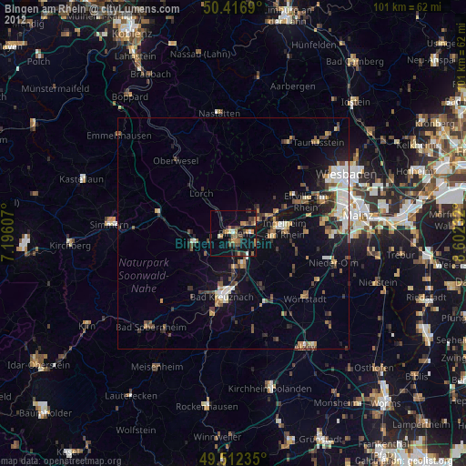
» Earth at Night: Flat Maps 2012, 2016