Bestensee night lights from space
Night Light of Bestensee (Brandenburg) from space (Germany) Src. Average luminocity for 10x10km area is 5.8016% and for 50x50km: 11.6874%.
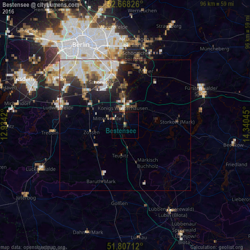
Analysis of Bestensee night lights 2016
Square area 10x10 km:
 0.4%
0.4%90-99
0.13%80-89
0.53%70-79
0.53%60-69
0.93%50-59
1.19%40-49
0%30-39
1.06%20-29
0.53%10-19
8.07%0-9
86.64%Square area 50x50 km:
2.41%90-99
3.2%80-89
1.43%70-79
1.08%60-69
0.84%50-59
1.03%40-49
1.65%30-39
1.63%20-29
2.21%10-19
5.2%0-9
79.32%Clear (daylight) street map image can be seen on geolist.org.
Map coordinates:
52° 40' 5.7" North, 12° 56' 3.1" East
52° 14' 23.2" North, 13° 38' 14.4" East
51° 48' 25.6" North, 14° 20' 25.6" East
Some cities around Bestensee sort by population:
• Königs Wusterhausen
6.9 km =4.3 mi,  357°
357°
• Zossen
13.1 km =8.1 mi,  258°
258°
• Bohnsdorf
17.7 km =11 mi,  345°
345°
• Zeuthen
12.1 km =7.5 mi, 354°
• Rangsdorf
15.9 km =9.9 mi,  291°
291°
• Mittenwalde
7 km =4.3 mi, 288°
• Schulzendorf
13.4 km =8.3 mi, 348°
• Eichwalde
14.2 km =8.8 mi, 354°
2949777 (p: 6,265)
Sources (retrieved 2019-11-25):
» Earth at Night: Flat Maps 2012, 2016