Bernau bei Berlin night lights from space
Night Light of Bernau bei Berlin (Brandenburg) from space (Germany) Src. Average luminocity for 10x10km area is 16.9034% and for 50x50km: 22.2305%.
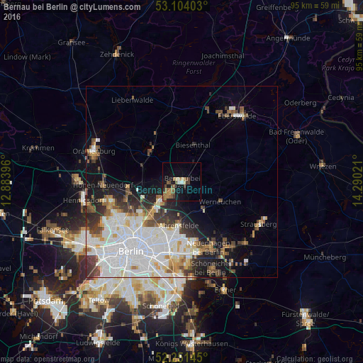
Analysis of Bernau bei Berlin night lights 2016
Square area 10x10 km:
 0.79%
0.79%90-99
1.59%80-89
1.59%70-79
0.66%60-69
5.42%50-59
4.76%40-49
4.89%30-39
0.93%20-29
0.26%10-19
15.61%0-9
63.49%Square area 50x50 km:
7.89%90-99
5.49%80-89
1.58%70-79
1.47%60-69
1.8%50-59
2.11%40-49
2.55%30-39
2.46%20-29
2.79%10-19
6.55%0-9
65.32%Clear (daylight) street map image can be seen on geolist.org.
Map coordinates:
53° 6' 14.5" North, 12° 53' 2.3" East
52° 40' 47.4" North, 13° 35' 13.5" East
52° 15' 5.2" North, 14° 17' 24.8" East
Some cities around Bernau bei Berlin sort by population:
• Neu-Hohenschönhausen
13.5 km =8.4 mi,  201°
201°
• Wandlitz
11.1 km =6.9 mi,  308°
308°
• Französisch Buchholz
13.6 km =8.5 mi,  230°
230°
• Karow
10.6 km =6.6 mi,  222°
222°
• Buch
7.9 km =4.9 mi, 230°
• Werneuchen
11.2 km =7 mi,  117°
117°
• Blankenburg
13.1 km =8.1 mi, 222°
• Biesenthal
10.3 km =6.4 mi,  21°
21°
2950096 (p: 34,866)
Sources (retrieved 2019-11-25):
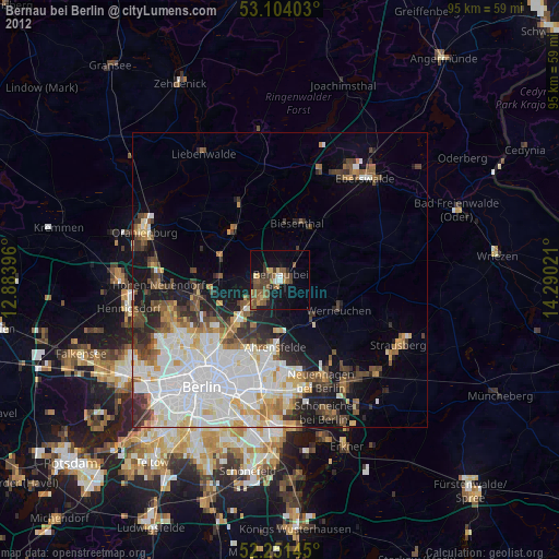
» Earth at Night: Flat Maps 2012, 2016