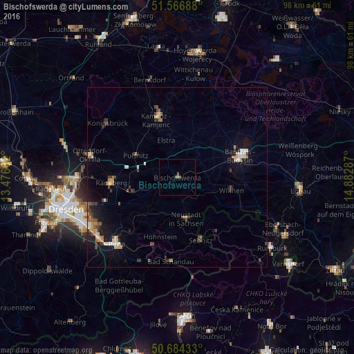
Bischofswerda night lights from space
Night Light of Bischofswerda (Saxony) from space (Germany) Src. Average luminocity for 10x10km area is 1.2594% and for 50x50km: 3.4613%.
Analysis of Bischofswerda night lights 2016
Square area 10x10 km:
 0%
0%90-99
0%80-89
0%70-79
0%60-69
0.53%50-59
1.6%40-49
0%30-39
0%20-29
0%10-19
0%0-9
97.86%Square area 50x50 km:
0.38%90-99
0.36%80-89
0.29%70-79
0.5%60-69
0.48%50-59
0.52%40-49
0.54%30-39
0.75%20-29
0.49%10-19
2.59%0-9
93.1%Clear (daylight) street map image can be seen on geolist.org.
Map coordinates:
51° 34' 0.8" North, 13° 28' 35.8" East
51° 7' 39.8" North, 14° 10' 47.1" East
50° 41' 3.6" North, 14° 52' 58.3" East
Some cities around Bischofswerda sort by population:
• Kamenz
16.7 km =10.4 mi,  338°
338°
• Neustadt in Sachsen
11.4 km =7.1 mi,  166°
166°
• Sebnitz
18.2 km =11.3 mi,  158°
158°
• Großröhrsdorf
11.4 km =7.1 mi,  279°
279°
• Wilthen
15.3 km =9.5 mi,  102°
102°
• Stolpen
11.2 km =7 mi,  218°
218°
• Neukirch/Lausitz
9.6 km =6 mi,  110°
110°
• Haselbachtal
16.1 km =10 mi,  318°
318°
2948267 (p: 13,085)
Sources (retrieved 2019-11-25):
» Earth at Night: Flat Maps 2012, 2016