Šluknov night lights from space
Night Light of Šluknov (Ústecký kraj) from space (Czech Republic) Src. Average luminocity for 10x10km area is 0.0561% and for 50x50km: 2.481%.
Analysis of Šluknov night lights 2016
Square area 10x10 km:
 0%
0%90-99
0%80-89
0%70-79
0%60-69
0%50-59
0%40-49
0%30-39
0%20-29
0%10-19
0%0-9
100%Square area 50x50 km:
0.19%90-99
0.39%80-89
0.2%70-79
0.31%60-69
0.43%50-59
0.36%40-49
0.35%30-39
0.41%20-29
0.23%10-19
0.92%0-9
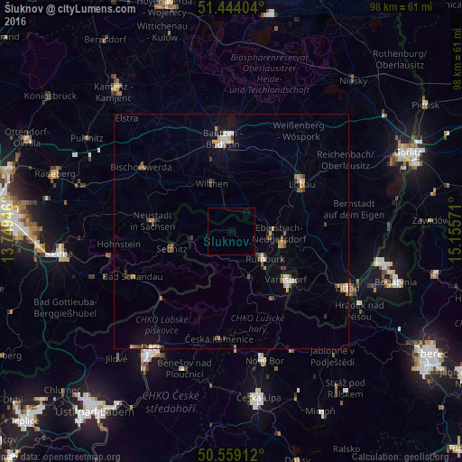
96.23%Clear (daylight) street map image can be seen on geolist.org.
Map coordinates:
51° 26' 38.5" North, 13° 44' 58.1" East
51° 0' 13.3" North, 14° 27' 9.3" East
50° 33' 32.8" North, 15° 9' 20.6" East
Some cities around Šluknov sort by population:
• Rumburk
9.3 km =5.8 mi,  128°
128°
• Sebnitz, DE
12.8 km =8 mi,  255°
255°
• Ebersbach, DE
9.4 km =5.8 mi,  87°
87°
• Sohland, DE
4.8 km =3 mi,  330°
330°
• Wilthen, DE
11.2 km =7 mi,  338°
338°
• Neugersdorf, DE
11.3 km =7 mi,  105°
105°
• Cunewalde, DE
11.6 km =7.2 mi,  22°
22°
• Neukirch/Lausitz, DE
14.5 km =9 mi,  315°
315°
3065768 (p: 5,701)
Sources (retrieved 2019-11-25):
» Earth at Night: Flat Maps 2012, 2016