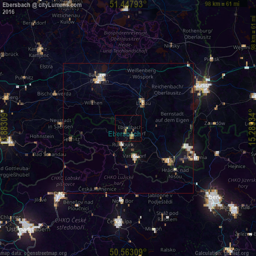
Ebersbach night lights from space
Night Light of Ebersbach (Saxony) from space (Germany) Src. Average luminocity for 10x10km area is 5.8209% and for 50x50km: 3.1881%.
Analysis of Ebersbach night lights 2016
Square area 10x10 km:
 0%
0%90-99
0%80-89
0%70-79
1.47%60-69
2.27%50-59
1.07%40-49
1.6%30-39
0%20-29
0.94%10-19
0.53%0-9
92.11%Square area 50x50 km:
0.31%90-99
0.5%80-89
0.25%70-79
0.32%60-69
0.5%50-59
0.48%40-49
0.43%30-39
0.5%20-29
0.26%10-19
1.55%0-9
94.92%Clear (daylight) street map image can be seen on geolist.org.
Map coordinates:
51° 26' 52.5" North, 13° 52' 59.1" East
51° 0' 27.4" North, 14° 35' 10.4" East
50° 33' 47.1" North, 15° 17' 21.6" East
Some cities around Ebersbach sort by population:
• Löbau
11.7 km =7.3 mi,  29°
29°
• Varnsdorf, CZ
10.9 km =6.8 mi,  168°
168°
• Rumburk, CZ
6.6 km =4.1 mi,  198°
198°
• Sohland
12.3 km =7.6 mi,  287°
287°
• Neugersdorf
3.7 km =2.3 mi,  154°
154°
• Šluknov, CZ
9.4 km =5.8 mi,  267°
267°
• Cunewalde
11.4 km =7.1 mi,  334°
334°
• Eibau
6 km =3.7 mi,  117°
117°
2933965 (p: 8,952)
Sources (retrieved 2019-11-25):
» Earth at Night: Flat Maps 2012, 2016