Bad Lobenstein night lights from space
Night Light of Bad Lobenstein (Thuringia) from space (Germany) Src. Average luminocity for 10x10km area is 1.993% and for 50x50km: 2.3022%.
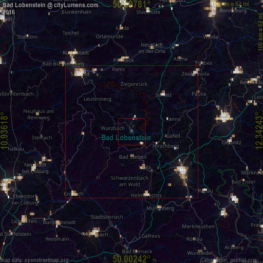
Analysis of Bad Lobenstein night lights 2016
Square area 10x10 km:
 0.42%
0.42%90-99
0.14%80-89
0%70-79
0.7%60-69
0.14%50-59
0%40-49
0%30-39
0.56%20-29
1.12%10-19
0.84%0-9
96.08%Square area 50x50 km:
0.3%90-99
0.37%80-89
0.2%70-79
0.35%60-69
0.18%50-59
0.38%40-49
0.45%30-39
0.3%20-29
0.21%10-19
1.09%0-9
96.17%Clear (daylight) street map image can be seen on geolist.org.
Map coordinates:
50° 53' 52.1" North, 10° 56' 10.2" East
50° 27' 8" North, 11° 38' 21.5" East
50° 0' 8.7" North, 12° 20' 32.7" East
Some cities around Bad Lobenstein sort by population:
• Hof
24.8 km =15.4 mi,  128°
128°
• Saalfeld
29.1 km =18.1 mi,  318°
318°
• Pößneck
27 km =16.8 mi,  352°
352°
• Helmbrechts
24.7 km =15.3 mi,  167°
167°
• Schleiz
18.5 km =11.5 mi,  40°
40°
• Naila
14.3 km =8.9 mi,  161°
161°
• Oberkotzau
29.8 km =18.5 mi,  135°
135°
• Stockheim
30.1 km =18.7 mi,  237°
237°
2876721 (p: 6,164)
Sources (retrieved 2019-11-25):
» Earth at Night: Flat Maps 2012, 2016