Stockheim night lights from space
Night Light of Stockheim (Bavaria) from space (Germany) Src. Average luminocity for 10x10km area is 0.4171% and for 50x50km: 2.4417%.
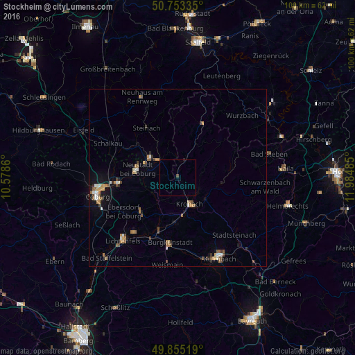
Analysis of Stockheim night lights 2016
Square area 10x10 km:
 0%
0%90-99
0%80-89
0%70-79
0%60-69
0%50-59
0%40-49
0.53%30-39
0%20-29
0.27%10-19
0%0-9
99.2%Square area 50x50 km:
0.21%90-99
0.35%80-89
0.2%70-79
0.34%60-69
0.48%50-59
0.4%40-49
0.47%30-39
0.19%20-29
0.25%10-19
1.15%0-9
95.96%Clear (daylight) street map image can be seen on geolist.org.
Map coordinates:
50° 45' 12.1" North, 10° 34' 43" East
50° 18' 23" North, 11° 16' 54.2" East
49° 51' 18.7" North, 11° 59' 5.5" East
Some cities around Stockheim sort by population:
• Sonneberg
9.6 km =6 mi,  307°
307°
• Kronach
8.3 km =5.2 mi,  153°
153°
• Neustadt bei Coburg
11.7 km =7.3 mi,  282°
282°
• Rödental
17.1 km =10.6 mi,  265°
265°
• Kueps Oberfranken
12.7 km =7.9 mi,  181°
181°
• Burgkunstadt
18.5 km =11.5 mi,  186°
186°
• Ebersdorf
9.5 km =5.9 mi,  285°
285°
• Sonnefeld
14.5 km =9 mi,  226°
226°
2826743 (p: 5,286)
Sources (retrieved 2019-11-25):
» Earth at Night: Flat Maps 2012, 2016