Arzberg night lights from space
Night Light of Arzberg (Bavaria) from space (Germany) Src. Average luminocity for 10x10km area is 0.5112% and for 50x50km: 2.008%.
Analysis of Arzberg night lights 2016
Square area 10x10 km:
 0%
0%90-99
0%80-89
0%70-79
0%60-69
0%50-59
0%40-49
0.56%30-39
0.56%20-29
0%10-19
0%0-9
98.88%Square area 50x50 km:
0.35%90-99
0.39%80-89
0.13%70-79
0.15%60-69
0.12%50-59
0.19%40-49
0.43%30-39
0.35%20-29
0.19%10-19
0.5%0-9
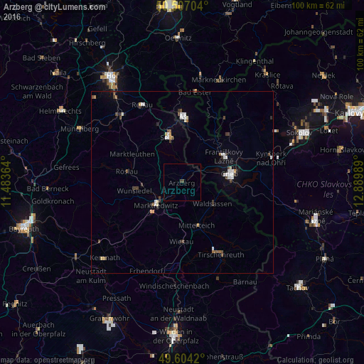
97.21%Clear (daylight) street map image can be seen on geolist.org.
Map coordinates:
50° 30' 25.3" North, 11° 29' 1.1" East
50° 3' 27.9" North, 12° 11' 12.3" East
49° 36' 15.1" North, 12° 53' 23.6" East
Some cities around Arzberg sort by population:
• Cheb, CZ
13.6 km =8.5 mi,  79°
79°
• Marktredwitz
9.3 km =5.8 mi,  230°
230°
• Selb
13.2 km =8.2 mi,  342°
342°
• Aš, CZ
18.5 km =11.5 mi,  1°
1°
• Wunsiedel
13.3 km =8.3 mi,  261°
261°
• Waldsassen
10.5 km =6.5 mi,  126°
126°
• Mitterteich
12.5 km =7.8 mi,  161°
161°
• Františkovy Lázně, CZ
13.7 km =8.5 mi,  59°
59°
2955368 (p: 6,075)
Sources (retrieved 2019-11-25):
» Earth at Night: Flat Maps 2012, 2016