Cheb night lights from space
Night Light of Cheb (Karlovarský kraj) from space (Czech Republic) Src. Average luminocity for 10x10km area is 13.6429% and for 50x50km: 3.1746%.
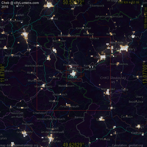
Analysis of Cheb night lights 2016
Square area 10x10 km:
 4.2%
4.2%90-99
3.64%80-89
0.14%70-79
0.42%60-69
0%50-59
0%40-49
1.68%30-39
1.12%20-29
1.12%10-19
8.82%0-9
78.85%Square area 50x50 km:
0.66%90-99
0.65%80-89
0.1%70-79
0.21%60-69
0.23%50-59
0.31%40-49
0.4%30-39
0.55%20-29
0.34%10-19
1.46%0-9
95.08%Clear (daylight) street map image can be seen on geolist.org.
Map coordinates:
50° 31' 43.4" North, 11° 40' 14.9" East
50° 4' 46.7" North, 12° 22' 26.1" East
49° 37' 34.6" North, 13° 4' 37.4" East
Some cities around Cheb sort by population:
• Selb, DE
20.1 km =12.5 mi,  300°
300°
• Aš
20.5 km =12.7 mi,  321°
321°
• Waldsassen, DE
10 km =6.2 mi,  209°
209°
• Mitterteich, DE
17.1 km =10.6 mi, 213°
• Arzberg, DE
13.6 km =8.5 mi,  259°
259°
• Františkovy Lázně
4.8 km =3 mi,  340°
340°
• Habartov
17 km =10.6 mi,  47°
47°
• Kynšperk nad Ohří
12 km =7.5 mi,  68°
68°
3077835 (p: 33,242)
Sources (retrieved 2019-11-25):
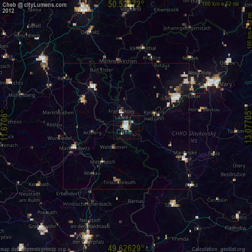
» Earth at Night: Flat Maps 2012, 2016