Altglienicke night lights from space
Night Light of Altglienicke (Berlin) from space (Germany) Src. Average luminocity for 10x10km area is 72.6503% and for 50x50km: 32.9777%.
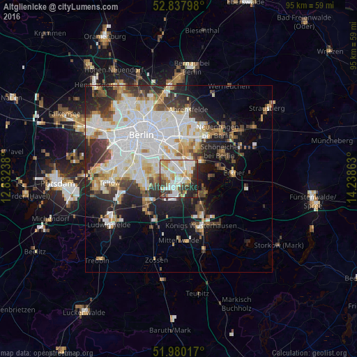
Analysis of Altglienicke night lights 2016
Square area 10x10 km:
 20.33%
90-99
24.12%80-89
9.09%70-79
9.09%60-69
5.43%50-59
4.67%40-49
4.8%30-39
8.96%20-29
10.86%10-19
2.65%0-9
0%Square area 50x50 km:
10.24%90-99
8.5%80-89
3.2%70-79
2.79%60-69
2.53%50-59
2.64%40-49
3.51%30-39
4.02%20-29
6.4%10-19
9.7%0-9
46.47%Clear (daylight) street map image can be seen on geolist.org.
Map coordinates:
52° 50' 16.7" North, 12° 49' 56.6" East
52° 24' 40.2" North, 13° 32' 7.8" East
51° 58' 48.6" North, 14° 14' 19.1" East
Some cities around Altglienicke sort by population:
• Köpenick
4.6 km =2.9 mi,  34°
34°
• Berlin Köpenick
4.7 km =2.9 mi,  42°
42°
• Rudow
3.7 km =2.3 mi,  292°
292°
• Johannisthal
4.4 km =2.7 mi,  333°
333°
• Adlershof
2.8 km =1.7 mi,  17°
17°
• Schönefeld
3.3 km =2.1 mi,  221°
221°
• Bohnsdorf
3.2 km =2 mi,  126°
126°
• Grünau
3.1 km =1.9 mi,  79°
79°
2957185 (p: 26,426)
Sources (retrieved 2019-11-25):
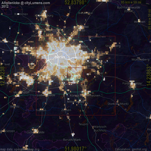
» Earth at Night: Flat Maps 2012, 2016