Třinec night lights from space
Night Light of Třinec (Moravskoslezský) from space (Czech Republic) Src. Average luminocity for 10x10km area is 21.7246% and for 50x50km: 9.7383%.
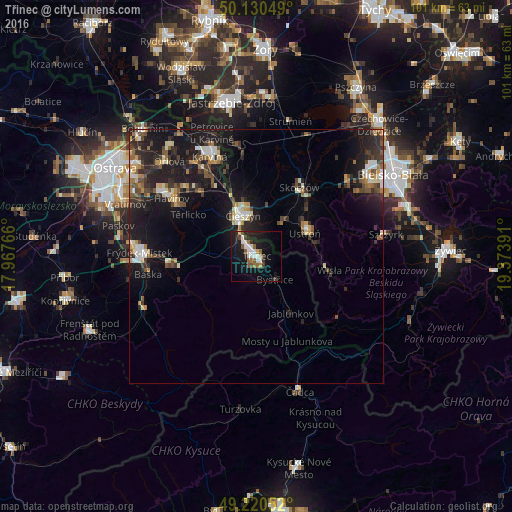
Analysis of Třinec night lights 2016
Square area 10x10 km:
 4.41%
4.41%90-99
3.61%80-89
0.53%70-79
1.47%60-69
2.41%50-59
3.61%40-49
1.87%30-39
2.81%20-29
5.61%10-19
25.53%0-9
48.13%Square area 50x50 km:
1.03%90-99
1.43%80-89
0.82%70-79
0.92%60-69
1.11%50-59
1.31%40-49
1.71%30-39
1.79%20-29
3.51%10-19
10.63%0-9
75.74%Clear (daylight) street map image can be seen on geolist.org.
Map coordinates:
50° 7' 49.8" North, 17° 58' 3.6" East
49° 40' 39.5" North, 18° 40' 14.8" East
49° 13' 13.9" North, 19° 22' 26.1" East
Some cities around Třinec sort by population:
• Cieszyn, PL
8.7 km =5.4 mi,  341°
341°
• Český Těšín
8.3 km =5.2 mi, 337°
• Ustroń, PL
10.6 km =6.6 mi,  62°
62°
• Skoczów, PL
16.1 km =10 mi,  31°
31°
• Wisła, PL
13.8 km =8.6 mi,  99°
99°
• Brenna, PL
17.5 km =10.9 mi,  72°
72°
• Jablunkov
13.1 km =8.1 mi,  148°
148°
• Bystřice
5.8 km =3.6 mi,  141°
141°
3064000 (p: 38,415)
Sources (retrieved 2019-11-25):
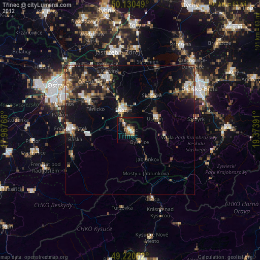
» Earth at Night: Flat Maps 2012, 2016