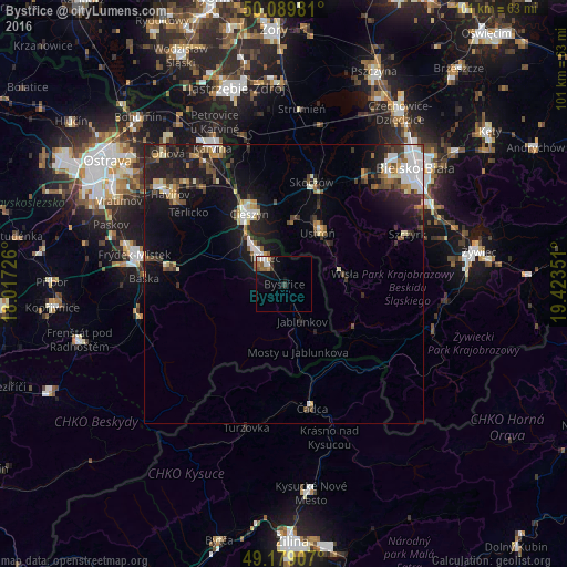
Bystřice night lights from space
Night Light of Bystřice (Moravskoslezský) from space (Czech Republic) Src. Average luminocity for 10x10km area is 8.5784% and for 50x50km: 8.146%.
Analysis of Bystřice night lights 2016
Square area 10x10 km:
 1.54%
1.54%90-99
1.54%80-89
0.42%70-79
0.7%60-69
1.54%50-59
1.26%40-49
0.7%30-39
1.96%20-29
0.28%10-19
4.9%0-9
85.15%Square area 50x50 km:
1.38%90-99
1.33%80-89
0.66%70-79
0.65%60-69
0.81%50-59
0.95%40-49
1.3%30-39
1.38%20-29
2.42%10-19
7.36%0-9
81.76%Clear (daylight) street map image can be seen on geolist.org.
Map coordinates:
50° 5' 23.3" North, 18° 1' 2.1" East
49° 38' 11.7" North, 18° 43' 13.4" East
49° 10' 44.7" North, 19° 25' 24.6" East
Some cities around Bystřice sort by population:
• Třinec
5.8 km =3.6 mi,  321°
321°
• Cieszyn, PL
14.3 km =8.9 mi,  333°
333°
• Český Těšín
13.9 km =8.6 mi, 330°
• Ustroń, PL
11.1 km =6.9 mi,  31°
31°
• Skoczów, PL
18.9 km =11.7 mi,  14°
14°
• Wisła, PL
10.2 km =6.3 mi,  77°
77°
• Brenna, PL
16.4 km =10.2 mi,  52°
52°
• Jablunkov
7.4 km =4.6 mi,  154°
154°
3078301 (p: 5,076)
Sources (retrieved 2019-11-25):
» Earth at Night: Flat Maps 2012, 2016