Prostějov night lights from space
Night Light of Prostějov (Olomoucký) from space (Czech Republic) Src. Average luminocity for 10x10km area is 24.1709% and for 50x50km: 7.4103%.
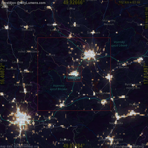
Analysis of Prostějov night lights 2016
Square area 10x10 km:
 5.46%
5.46%90-99
6.02%80-89
2.8%70-79
0.28%60-69
1.4%50-59
1.4%40-49
0.56%30-39
2.66%20-29
2.66%10-19
33.75%0-9
43%Square area 50x50 km:
1.26%90-99
1.46%80-89
0.5%70-79
0.52%60-69
0.75%50-59
0.6%40-49
0.81%30-39
1.18%20-29
1.92%10-19
5.49%0-9
85.52%Clear (daylight) street map image can be seen on geolist.org.
Map coordinates:
49° 55' 36" North, 16° 24' 31.4" East
49° 28' 18.8" North, 17° 6' 42.6" East
49° 0' 46.2" North, 17° 48' 53.9" East
Some cities around Prostějov sort by population:
• Olomouc
17.1 km =10.6 mi,  36°
36°
• Přerov
24.6 km =15.3 mi,  94°
94°
• Kroměříž
28.1 km =17.5 mi,  133°
133°
• Vyškov
23.1 km =14.4 mi,  200°
200°
• Litovel
25.6 km =15.9 mi,  354°
354°
• Hulín
30.7 km =19.1 mi,  124°
124°
• Kojetín
19.2 km =11.9 mi, 134°
• Chropyně
22.3 km =13.9 mi, 125°
3067421 (p: 47,374)
Sources (retrieved 2019-11-25):
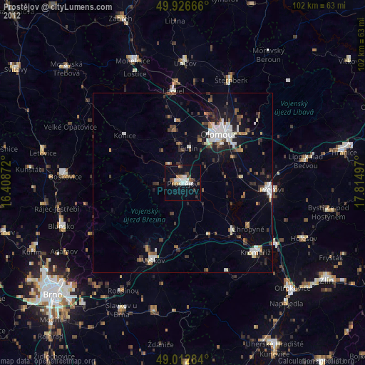
» Earth at Night: Flat Maps 2012, 2016