Kroměříž night lights from space
Night Light of Kroměříž (Zlín) from space (Czech Republic) Src. Average luminocity for 10x10km area is 13.1457% and for 50x50km: 6.731%.
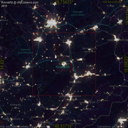
Analysis of Kroměříž night lights 2016
Square area 10x10 km:
 2.01%
2.01%90-99
1.87%80-89
1.47%70-79
1.2%60-69
1.74%50-59
1.07%40-49
0.94%30-39
1.74%20-29
1.07%10-19
3.07%0-9
83.82%Square area 50x50 km:
1.02%90-99
1.22%80-89
0.52%70-79
0.58%60-69
0.58%50-59
0.56%40-49
0.81%30-39
0.9%20-29
0.78%10-19
6.28%0-9
86.76%Clear (daylight) street map image can be seen on geolist.org.
Map coordinates:
49° 45' 15.3" North, 16° 41' 24" East
49° 17' 52.3" North, 17° 23' 35.2" East
48° 50' 13.9" North, 18° 5' 46.5" East
Some cities around Kroměříž sort by population:
• Zlín
21.6 km =13.4 mi,  111°
111°
• Přerov
18 km =11.2 mi,  13°
13°
• Otrokovice
14.5 km =9 mi,  132°
132°
• Holešov
14 km =8.7 mi,  73°
73°
• Napajedla
16.5 km =10.3 mi,  148°
148°
• Hulín
5.5 km =3.4 mi, 67°
• Kojetín
8.9 km =5.5 mi,  312°
312°
• Chropyně
6.8 km =4.2 mi,  342°
342°
3072649 (p: 29,126)
Sources (retrieved 2019-11-25):
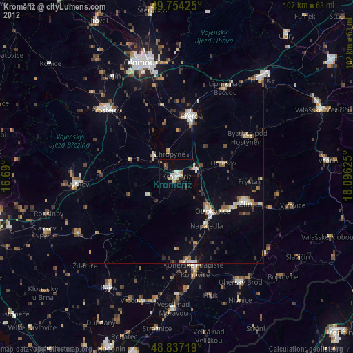
» Earth at Night: Flat Maps 2012, 2016