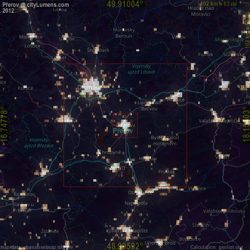
Přerov night lights from space
Night Light of Přerov (Olomoucký) from space (Czech Republic) Src. Average luminocity for 10x10km area is 21.3431% and for 50x50km: 8.417%.
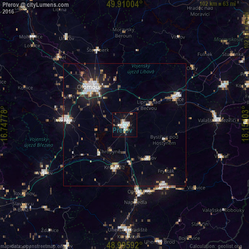
Analysis of Přerov night lights 2016
Square area 10x10 km:
 4.9%
4.9%90-99
5.18%80-89
0.98%70-79
1.54%60-69
2.52%50-59
1.12%40-49
1.12%30-39
0.98%20-29
2.66%10-19
25.49%0-9
53.5%Square area 50x50 km:
1.4%90-99
1.62%80-89
0.57%70-79
0.65%60-69
0.72%50-59
0.73%40-49
0.99%30-39
1.2%20-29
2.01%10-19
6.37%0-9
83.75%Clear (daylight) street map image can be seen on geolist.org.
Map coordinates:
49° 54' 36.1" North, 16° 44' 52" East
49° 27' 18.4" North, 17° 27' 3.2" East
48° 59' 45.3" North, 18° 9' 14.5" East
Some cities around Přerov sort by population:
• Olomouc
21.2 km =13.2 mi,  317°
317°
• Kroměříž
18 km =11.2 mi,  193°
193°
• Holešov
16.4 km =10.2 mi,  145°
145°
• Bystřice pod Hostýnem
17.3 km =10.7 mi,  111°
111°
• Lipník nad Bečvou
12.6 km =7.8 mi,  50°
50°
• Hulín
15.4 km =9.6 mi,  176°
176°
• Kojetín
15.7 km =9.8 mi,  223°
223°
• Chropyně
12.6 km =7.8 mi,  209°
209°
3067580 (p: 47,311)
Sources (retrieved 2019-11-25):
» Earth at Night: Flat Maps 2012, 2016