Litovel night lights from space
Night Light of Litovel (Olomoucký) from space (Czech Republic) Src. Average luminocity for 10x10km area is 6.492% and for 50x50km: 5.5917%.
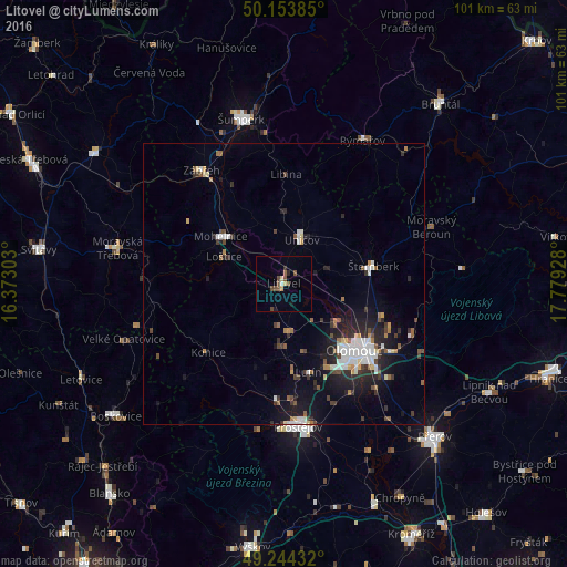
Analysis of Litovel night lights 2016
Square area 10x10 km:
 0.27%
0.27%90-99
0.27%80-89
0.53%70-79
0.94%60-69
0.27%50-59
3.07%40-49
2.14%30-39
0.27%20-29
0.8%10-19
1.07%0-9
90.37%Square area 50x50 km:
0.87%90-99
1%80-89
0.36%70-79
0.36%60-69
0.58%50-59
0.73%40-49
0.7%30-39
0.98%20-29
1.77%10-19
3.95%0-9
88.7%Clear (daylight) street map image can be seen on geolist.org.
Map coordinates:
50° 9' 13.9" North, 16° 22' 22.9" East
49° 42' 4.4" North, 17° 4' 34.1" East
49° 14' 39.6" North, 17° 46' 45.4" East
Some cities around Litovel sort by population:
• Olomouc
17.3 km =10.7 mi,  132°
132°
• Prostějov
25.6 km =15.9 mi,  174°
174°
• Zábřeh
24.9 km =15.5 mi,  324°
324°
• Šternberk
16.3 km =10.1 mi,  78°
78°
• Uničov
8.4 km =5.2 mi,  22°
22°
• Moravská Třebová
30.3 km =18.8 mi,  282°
282°
• Mohelnice
14.1 km =8.8 mi,  306°
306°
• Rýmařov
29.2 km =18.1 mi,  28°
28°
3071669 (p: 10,062)
Sources (retrieved 2019-11-25):
» Earth at Night: Flat Maps 2012, 2016