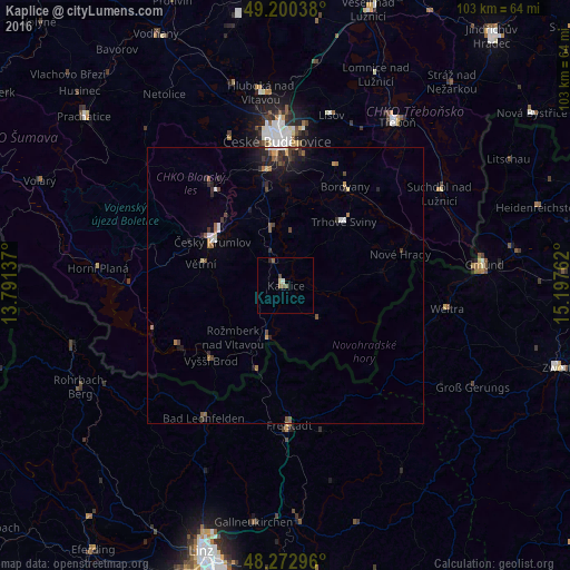
Kaplice night lights from space
Night Light of Kaplice (Jihočeský kraj) from space (Czech Republic) Src. Average luminocity for 10x10km area is 3.3839% and for 50x50km: 1.8407%.
Analysis of Kaplice night lights 2016
Square area 10x10 km:
 0%
0%90-99
0.6%80-89
0.6%70-79
0%60-69
0.74%50-59
1.64%40-49
0.6%30-39
0.3%20-29
0.3%10-19
0%0-9
95.24%Square area 50x50 km:
0.19%90-99
0.15%80-89
0.16%70-79
0.17%60-69
0.26%50-59
0.4%40-49
0.32%30-39
0.37%20-29
0.55%10-19
1.11%0-9
96.31%Clear (daylight) street map image can be seen on geolist.org.
Map coordinates:
49° 12' 1.4" North, 13° 47' 28.9" East
48° 44' 19.7" North, 14° 29' 40.2" East
48° 16' 22.7" North, 15° 11' 51.4" East
Some cities around Kaplice sort by population:
• Linz, AT
50.5 km =31.4 mi,  197°
197°
• České Budějovice
26.2 km =16.3 mi,  356°
356°
• Český Krumlov
15.4 km =9.6 mi,  301°
301°
• Prachatice
47.4 km =29.5 mi,  309°
309°
• Třeboň
35.7 km =22.2 mi,  34°
34°
• Freistadt, AT
25.3 km =15.7 mi,  178°
178°
• Vodňany
51.1 km =31.8 mi,  332°
332°
• Gallneukirchen, AT
43.2 km =26.8 mi,  187°
187°
3073862 (p: 7,195)
Sources (retrieved 2019-11-25):
» Earth at Night: Flat Maps 2012, 2016