České Budějovice night lights from space
Night Light of České Budějovice (Jihočeský kraj) from space (Czech Republic) Src. Average luminocity for 10x10km area is 47.3452% and for 50x50km: 4.1694%.
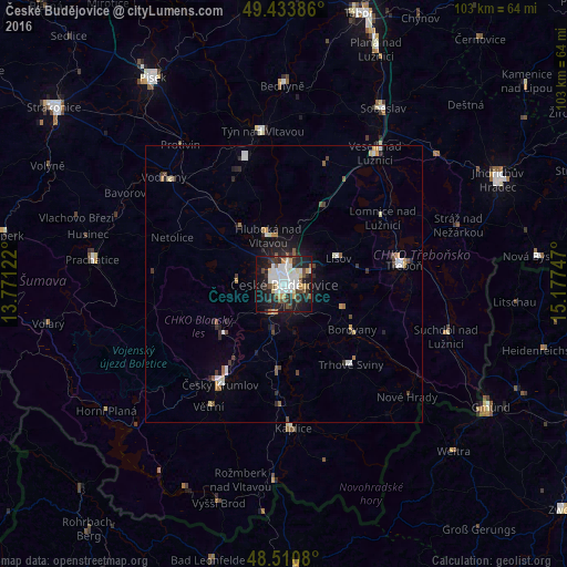

Analysis of České Budějovice night lights 2016
Square area 10x10 km:
 12.36%
90-99
12.36%80-89
4.55%70-79
3.41%60-69
1.14%50-59
5.82%40-49
4.26%30-39
8.66%20-29
16.34%10-19
25.28%0-9
5.82%Square area 50x50 km:
0.77%90-99
0.75%80-89
0.34%70-79
0.34%60-69
0.32%50-59
0.54%40-49
0.51%30-39
0.71%20-29
1.17%10-19
2.46%0-9
92.1%Clear (daylight) street map image can be seen on geolist.org.
Map coordinates:
49° 26' 1.9" North, 13° 46' 16.4" East
48° 58' 28.1" North, 14° 28' 27.6" East
48° 30' 38.9" North, 15° 10' 38.9" East
Some cities around České Budějovice sort by population:
• Český Krumlov
21.6 km =13.4 mi,  212°
212°
• Prachatice
35 km =21.7 mi,  277°
277°
• Třeboň
21.9 km =13.6 mi,  81°
81°
• Týn nad Vltavou
28 km =17.4 mi,  351°
351°
• Kaplice
26.2 km =16.3 mi,  176°
176°
• Vodňany
29.1 km =18.1 mi,  311°
311°
• Veselí nad Lužnicí
28.4 km =17.6 mi,  34°
34°
• Protivín
31.3 km =19.4 mi,  323°
323°
3077916 (p: 96,053)
Sources (retrieved 2019-11-25):
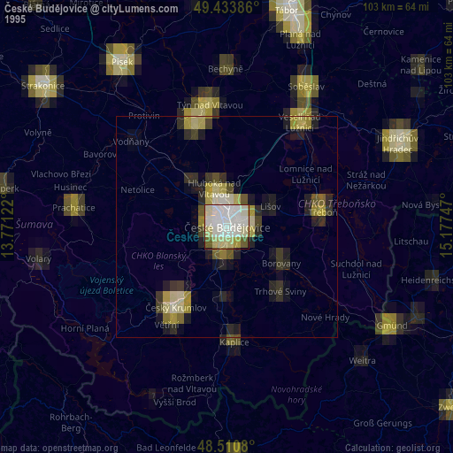
» NASA, Earths city lights 1995
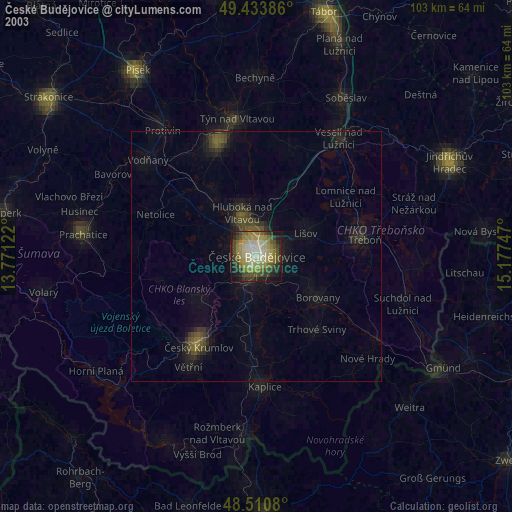
» NASA city lights 2003
» Earth at Night: Flat Maps 2012, 2016