Freistadt night lights from space
Night Light of Freistadt (Upper Austria) from space (Austria) Src. Average luminocity for 10x10km area is 2.9616% and for 50x50km: 2.0146%.
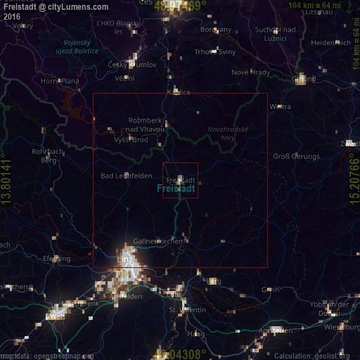
Analysis of Freistadt night lights 2016
Square area 10x10 km:
 0%
0%90-99
0%80-89
0.57%70-79
0.71%60-69
0.43%50-59
1.14%40-49
0.85%30-39
0.28%20-29
0.57%10-19
0.57%0-9
94.89%Square area 50x50 km:
0.35%90-99
0.33%80-89
0.14%70-79
0.17%60-69
0.21%50-59
0.3%40-49
0.29%30-39
0.35%20-29
0.67%10-19
1.5%0-9
95.69%Clear (daylight) street map image can be seen on geolist.org.
Map coordinates:
48° 58' 28.9" North, 13° 48' 5.1" East
48° 30' 39.7" North, 14° 30' 16.3" East
48° 2' 35.1" North, 15° 12' 27.6" East
Some cities around Freistadt sort by population:
• Linz
27.9 km =17.3 mi,  215°
215°
• Enns
33.2 km =20.6 mi,  183°
183°
• Kaplice, CZ
25.3 km =15.7 mi,  358°
358°
• Sankt Martin
35.7 km =22.2 mi,  209°
209°
• Gallneukirchen
18.7 km =11.6 mi,  200°
200°
• Perg
30.5 km =19 mi,  161°
161°
• Hart
32.9 km =20.4 mi, 213°
• Haag
31.9 km =19.8 mi, 213°
2779275 (p: 7,397)
Sources (retrieved 2019-11-25):
» Earth at Night: Flat Maps 2012, 2016