Česká Lípa night lights from space
Night Light of Česká Lípa (Liberecký kraj) from space (Czech Republic) Src. Average luminocity for 10x10km area is 15.4799% and for 50x50km: 2.9021%.
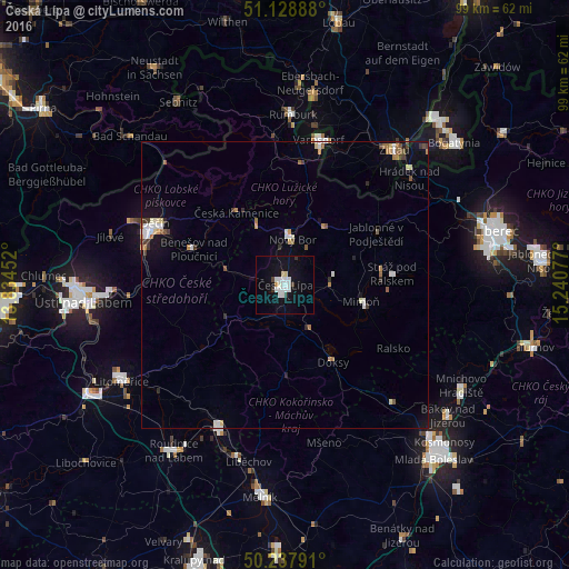
Analysis of Česká Lípa night lights 2016
Square area 10x10 km:
 4.14%
4.14%90-99
4.41%80-89
1.07%70-79
0.53%60-69
0%50-59
0%40-49
0.53%30-39
1.6%20-29
0.53%10-19
16.18%0-9
70.99%Square area 50x50 km:
0.46%90-99
0.62%80-89
0.24%70-79
0.21%60-69
0.39%50-59
0.31%40-49
0.22%30-39
0.43%20-29
0.22%10-19
1.42%0-9
95.49%Clear (daylight) street map image can be seen on geolist.org.
Map coordinates:
51° 7' 44" North, 13° 50' 4.3" East
50° 41' 7.8" North, 14° 32' 15.5" East
50° 14' 16.5" North, 15° 14' 26.8" East
Some cities around Česká Lípa sort by population:
• Děčín
25.1 km =15.6 mi,  295°
295°
• Varnsdorf
25.8 km =16 mi,  12°
12°
• Nový Bor
8.1 km =5 mi, 8°
• Štětí
28.3 km =17.6 mi,  204°
204°
• Mimoň
13.5 km =8.4 mi,  102°
102°
• Großschönau, DE
26 km =16.2 mi,  23°
23°
• Olbersdorf, DE
26.5 km =16.5 mi,  38°
38°
• Doksy
15.8 km =9.8 mi,  148°
148°
3077929 (p: 38,841)
Sources (retrieved 2019-11-25):
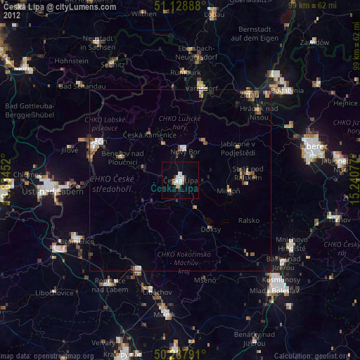
» Earth at Night: Flat Maps 2012, 2016