Děčín night lights from space
Night Light of Děčín (Ústecký kraj) from space (Czech Republic) Src. Average luminocity for 10x10km area is 20.1751% and for 50x50km: 5.5513%.
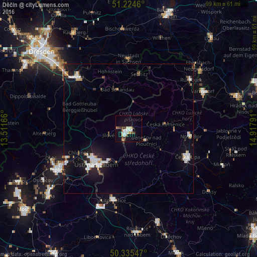
Analysis of Děčín night lights 2016
Square area 10x10 km:
 3.78%
3.78%90-99
4.06%80-89
2.38%70-79
0.98%60-69
2.24%50-59
1.26%40-49
2.38%30-39
3.92%20-29
0.56%10-19
18.77%0-9
59.66%Square area 50x50 km:
1.18%90-99
1.09%80-89
0.42%70-79
0.39%60-69
0.32%50-59
0.45%40-49
0.4%30-39
0.63%20-29
1%10-19
5.43%0-9
88.7%Clear (daylight) street map image can be seen on geolist.org.
Map coordinates:
51° 13' 28.6" North, 13° 30' 42" East
50° 46' 55.7" North, 14° 12' 53.2" East
50° 20' 7.7" North, 14° 55' 4.5" East
Some cities around Děčín sort by population:
• Ústí nad Labem
18.6 km =11.6 mi,  223°
223°
• Česká Lípa
25.1 km =15.6 mi,  115°
115°
• Neustadt in Sachsen, DE
27.4 km =17 mi,  0°
0°
• Krupka
27.3 km =17 mi,  246°
246°
• Nový Bor
24.1 km =15 mi,  96°
96°
• Sebnitz, DE
21.9 km =13.6 mi,  11°
11°
• Česká Kamenice
14.4 km =8.9 mi,  83°
83°
• Jílové
8.2 km =5.1 mi, 253°
3077244 (p: 52,058)
Sources (retrieved 2019-11-25):
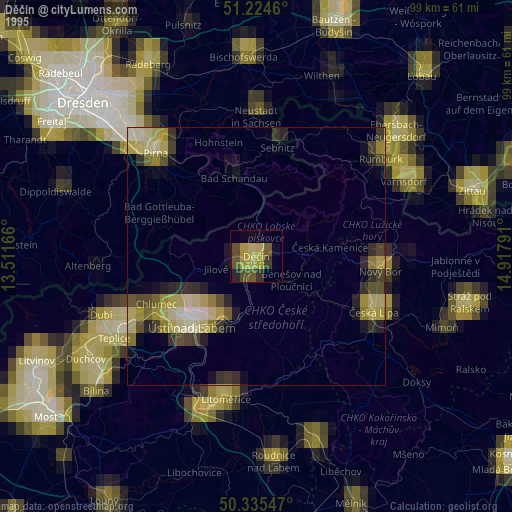
» NASA, Earths city lights 1995
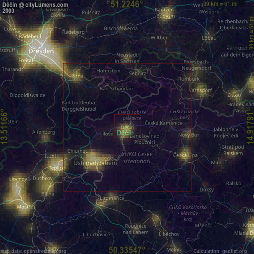
» NASA city lights 2003
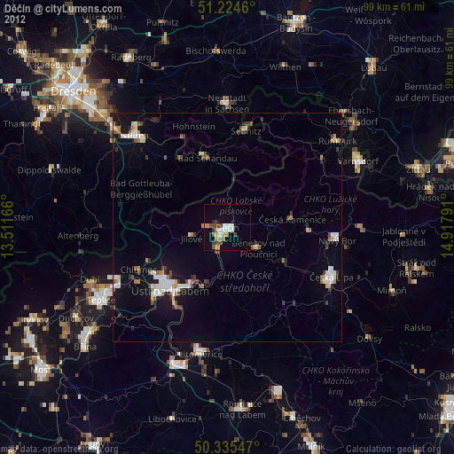
» Earth at Night: Flat Maps 2012, 2016