Blansko night lights from space
Night Light of Blansko (South Moravian) from space (Czech Republic) Src. Average luminocity for 10x10km area is 8.9893% and for 50x50km: 8.4463%.
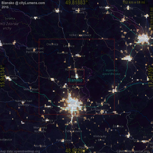
Analysis of Blansko night lights 2016
Square area 10x10 km:
 1.47%
1.47%90-99
2.27%80-89
0%70-79
0.8%60-69
0.27%50-59
0.53%40-49
1.87%30-39
1.07%20-29
1.2%10-19
1.07%0-9
89.44%Square area 50x50 km:
1.79%90-99
1.95%80-89
0.57%70-79
0.75%60-69
0.81%50-59
0.97%40-49
1.01%30-39
1.12%20-29
2.3%10-19
3.26%0-9
85.49%Clear (daylight) street map image can be seen on geolist.org.
Map coordinates:
49° 49' 7.8" North, 15° 56' 28.8" East
49° 21' 46.9" North, 16° 38' 40.1" East
48° 54' 10.8" North, 17° 20' 51.3" East
Some cities around Blansko sort by population:
• Brno
18.8 km =11.7 mi,  188°
188°
• Vyškov
27.4 km =17 mi,  110°
110°
• Boskovice
13.9 km =8.6 mi,  4°
4°
• Kuřim
10.9 km =6.8 mi,  228°
228°
• Tišnov
16 km =9.9 mi,  264°
264°
• Šlapanice
22.4 km =13.9 mi,  164°
164°
• Letovice
21.1 km =13.1 mi,  345°
345°
• Rousínov
24.9 km =15.5 mi,  136°
136°
3079273 (p: 20,384)
Sources (retrieved 2019-11-25):
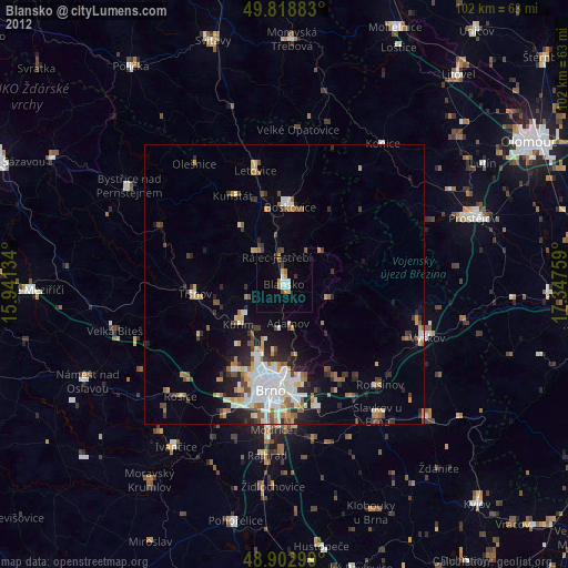
» Earth at Night: Flat Maps 2012, 2016