Tanki Leendert night lights from space
Night Light of Tanki Leendert from space (Aruba) Src. Average luminocity for 10x10km area is 60.0671% and for 50x50km: 4.8091%.
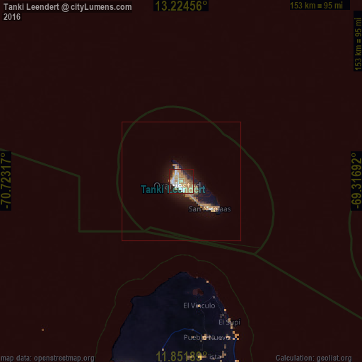
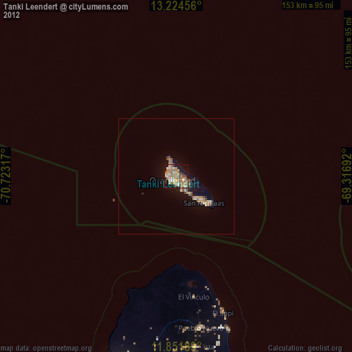
Analysis of Tanki Leendert night lights 2016
Square area 10x10 km:
 9.52%
9.52%90-99
10.17%80-89
9.31%70-79
14.07%60-69
19.91%50-59
2.16%40-49
3.9%30-39
2.6%20-29
14.29%10-19
13.85%0-9
0.22%Square area 50x50 km:
0.39%90-99
0.47%80-89
0.42%70-79
0.95%60-69
1.71%50-59
0.38%40-49
0.37%30-39
0.31%20-29
1.05%10-19
4.54%0-9
89.41%Clear (daylight) street map image can be seen on geolist.org.
Map coordinates:
13° 13' 28.4" North, 70° 43' 23.4" West
12° 32' 20.9" North, 70° 1' 12.1" West
11° 51' 6.8" North, 69° 19' 0.9" West
Some cities around Tanki Leendert sort by population:
• Punto Fijo, VE
96.2 km =59.8 mi,  191°
191°
• Punta Cardón, VE
100.2 km =62.3 mi, 192°
• Oranjestad
1.8 km =1.1 mi,  204°
204°
• San Nicolas
16.8 km =10.4 mi,  133°
133°
• Santa Cruz
5.4 km =3.4 mi, 127°
• Paradera
1.5 km =0.9 mi,  107°
107°
• Savaneta
13.3 km =8.3 mi,  138°
138°
• Sint Michiel Liber, CW
120.6 km =74.9 mi, 111°
3577072 (p: 21,500)
Sources (retrieved 2019-11-25):
» Earth at Night: Flat Maps 2012, 2016