Placetas night lights from space
Night Light of Placetas (Villa Clara) from space (Cuba) Src. Average luminocity for 10x10km area is 13.0455% and for 50x50km: 2.8422%.
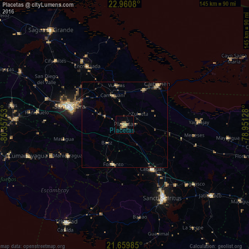

Analysis of Placetas night lights 2016
Square area 10x10 km:
 0%
0%90-99
0%80-89
3.6%70-79
3.22%60-69
2.46%50-59
0.57%40-49
3.98%30-39
1.7%20-29
1.52%10-19
1.52%0-9
81.44%Square area 50x50 km:
0%90-99
0.02%80-89
0.67%70-79
0.51%60-69
0.34%50-59
0.49%40-49
0.75%30-39
0.57%20-29
0.74%10-19
0.46%0-9
95.44%Clear (daylight) street map image can be seen on geolist.org.
Map coordinates:
22° 57' 38.9" North, 80° 21' 27.1" West
22° 18' 42.6" North, 79° 39' 15.8" West
21° 39' 35.5" North, 78° 57' 4.6" West
Some cities around Placetas sort by population:
• Santa Clara
33.6 km =20.9 mi,  288°
288°
• Cabaiguán
30.6 km =19 mi,  148°
148°
• Manicaragua
37.9 km =23.5 mi,  241°
241°
• Caibarién
30.2 km =18.8 mi,  39°
39°
• Camajuaní
21.5 km =13.4 mi,  332°
332°
• Remedios
23.2 km =14.4 mi,  28°
28°
• Fomento
24 km =14.9 mi,  196°
196°
• Guayos
35.3 km =21.9 mi, 145°
3543961 (p: 55,408)
Sources (retrieved 2019-11-25):
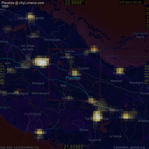
» NASA, Earths city lights 1995
» NASA city lights 2003
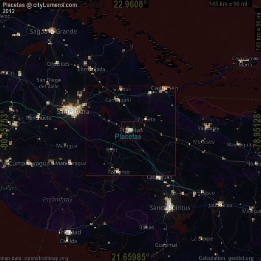
» Earth at Night: Flat Maps 2012, 2016