Caibarién night lights from space
Night Light of Caibarién (Villa Clara) from space (Cuba) Src. Average luminocity for 10x10km area is 11.0095% and for 50x50km: 2.0099%.
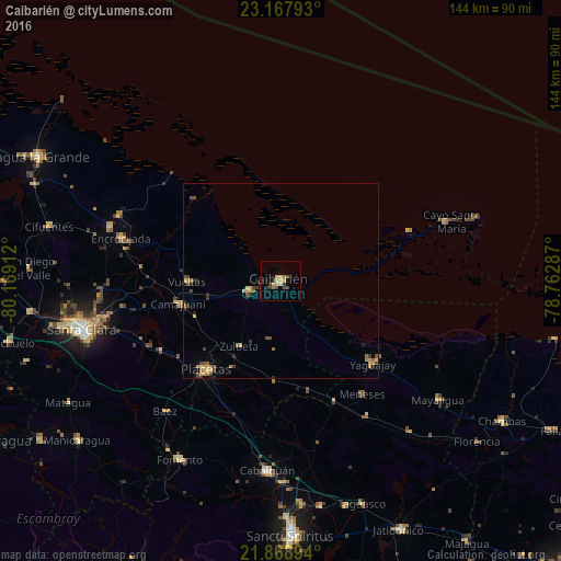
Analysis of Caibarién night lights 2016
Square area 10x10 km:
 0%
0%90-99
0%80-89
2.84%70-79
3.22%60-69
1.33%50-59
0.38%40-49
2.08%30-39
2.84%20-29
2.84%10-19
1.14%0-9
83.33%Square area 50x50 km:
0%90-99
0%80-89
0.47%70-79
0.49%60-69
0.33%50-59
0.29%40-49
0.49%30-39
0.41%20-29
0.43%10-19
0.29%0-9
96.81%Clear (daylight) street map image can be seen on geolist.org.
Map coordinates:
23° 10' 4.5" North, 80° 10' 8.8" West
22° 31' 11.9" North, 79° 27' 57.6" West
21° 52' 8.2" North, 78° 45' 46.3" West
Some cities around Caibarién sort by population:
• Placetas
30.2 km =18.8 mi,  219°
219°
• Cabaiguán
49.2 km =30.6 mi,  183°
183°
• Yaguajay
32 km =19.9 mi,  132°
132°
• Camajuaní
29.5 km =18.3 mi,  262°
262°
• Remedios
8.6 km =5.3 mi,  251°
251°
• Encrucijada
42.5 km =26.4 mi,  284°
284°
• Guayos
52.3 km =32.5 mi, 179°
• Calabazar de Sagua
46.2 km =28.7 mi,  287°
287°
3566356 (p: 39,140)
Sources (retrieved 2019-11-25):
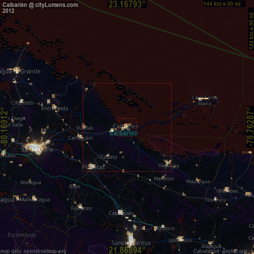
» Earth at Night: Flat Maps 2012, 2016