Fomento night lights from space
Night Light of Fomento (Sancti Spíritus) from space (Cuba) Src. Average luminocity for 10x10km area is 6.871% and for 50x50km: 1.5974%.
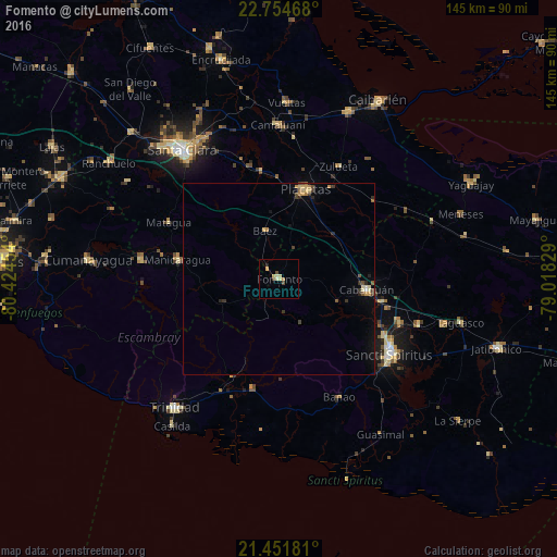
Analysis of Fomento night lights 2016
Square area 10x10 km:
 0%
0%90-99
0.4%80-89
4.17%70-79
0.2%60-69
0.79%50-59
0%40-49
2.38%30-39
0%20-29
0.79%10-19
0%0-9
91.27%Square area 50x50 km:
0%90-99
0.09%80-89
0.43%70-79
0.28%60-69
0.17%50-59
0.17%40-49
0.36%30-39
0.33%20-29
0.28%10-19
0.34%0-9
97.55%Clear (daylight) street map image can be seen on geolist.org.
Map coordinates:
22° 45' 16.8" North, 80° 25' 28.3" West
22° 6' 17.1" North, 79° 43' 17.1" West
21° 27' 6.5" North, 79° 1' 5.8" West
Some cities around Fomento sort by population:
• Sancti Spíritus
34.7 km =21.6 mi,  124°
124°
• Placetas
24 km =14.9 mi,  16°
16°
• Cabaiguán
23.3 km =14.5 mi,  97°
97°
• Manicaragua
27 km =16.8 mi,  280°
280°
• Condado
28.2 km =17.5 mi,  205°
205°
• Guayos
27.5 km =17.1 mi, 102°
• Topes de Collantes
37.2 km =23.1 mi,  235°
235°
• Zaza del Medio
38.5 km =23.9 mi,  108°
108°
3558744 (p: 19,991)
Sources (retrieved 2019-11-25):
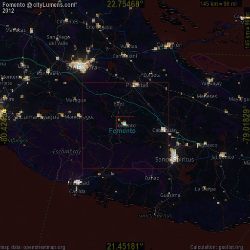
» Earth at Night: Flat Maps 2012, 2016