Manicaragua night lights from space
Night Light of Manicaragua (Villa Clara) from space (Cuba) Src. Average luminocity for 10x10km area is 5.7361% and for 50x50km: 1.5765%.
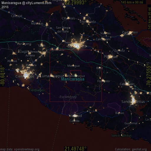
Analysis of Manicaragua night lights 2016
Square area 10x10 km:
 0%
0%90-99
0%80-89
1.59%70-79
0.99%60-69
0.79%50-59
1.19%40-49
2.58%30-39
0.79%20-29
0%10-19
0.79%0-9
91.27%Square area 50x50 km:
0%90-99
0%80-89
0.44%70-79
0.21%60-69
0.19%50-59
0.13%40-49
0.51%30-39
0.28%20-29
0.22%10-19
1.04%0-9
96.98%Clear (daylight) street map image can be seen on geolist.org.
Map coordinates:
22° 47' 59.7" North, 80° 40' 54.5" West
22° 9' 0.8" North, 79° 58' 43.2" West
21° 29' 50.9" North, 79° 16' 32" West
Some cities around Manicaragua sort by population:
• Santa Clara
28.6 km =17.8 mi,  2°
2°
• Ranchuelo
30.4 km =18.9 mi,  324°
324°
• Cumanayagua
23.2 km =14.4 mi,  270°
270°
• Condado
33.6 km =20.9 mi,  154°
154°
• Cruces
36.8 km =22.9 mi,  305°
305°
• Fomento
27 km =16.8 mi,  100°
100°
• Esperanza
35.2 km =21.9 mi,  339°
339°
• Topes de Collantes
26.5 km =16.5 mi,  189°
189°
3547976 (p: 41,532)
Sources (retrieved 2019-11-25):
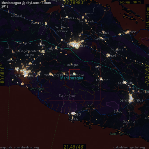
» Earth at Night: Flat Maps 2012, 2016