Moa night lights from space
Night Light of Moa (Holguín) from space (Cuba) Src. Average luminocity for 10x10km area is 26.7311% and for 50x50km: 1.5803%.
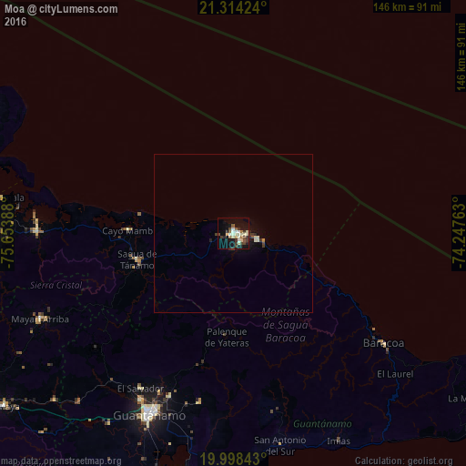
Analysis of Moa night lights 2016
Square area 10x10 km:
 1.89%
1.89%90-99
6.63%80-89
4.36%70-79
0.76%60-69
2.46%50-59
2.65%40-49
6.25%30-39
5.87%20-29
3.6%10-19
28.41%0-9
37.12%Square area 50x50 km:
0.08%90-99
0.38%80-89
0.22%70-79
0.06%60-69
0.1%50-59
0.11%40-49
0.36%30-39
0.38%20-29
0.25%10-19
1.54%0-9
96.53%Clear (daylight) street map image can be seen on geolist.org.
Map coordinates:
21° 18' 51.3" North, 75° 39' 14" West
20° 39' 27.9" North, 74° 57' 2.7" West
19° 59' 54.3" North, 74° 14' 51.5" West
Some cities around Moa sort by population:
• Guantánamo
63.1 km =39.2 mi,  205°
205°
• San Luis
107.3 km =66.7 mi,  240°
240°
• Banes
87 km =54.1 mi,  292°
292°
• Baracoa
58.6 km =36.4 mi,  126°
126°
• Maisí
95 km =59 mi,  118°
118°
• Cueto
101.9 km =63.3 mi,  269°
269°
• Río Guayabal de Yateras
33.1 km =20.6 mi,  191°
191°
• Sagua de Tánamo
31.4 km =19.5 mi,  254°
254°
3546791 (p: 92,852)
Sources (retrieved 2019-11-25):
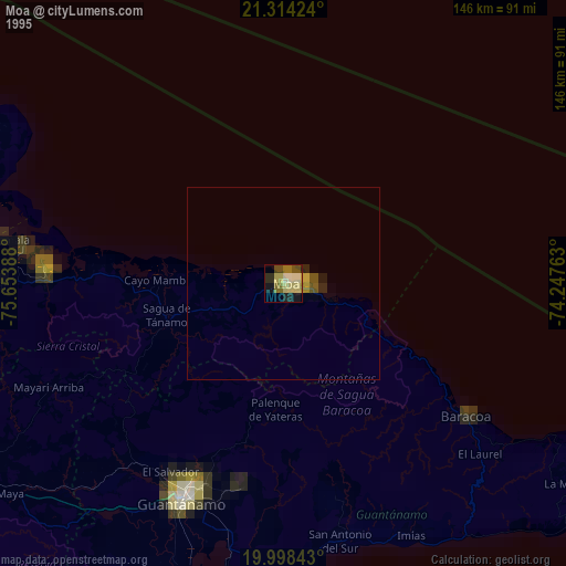
» NASA, Earths city lights 1995
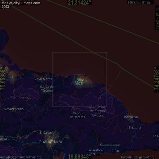
» NASA city lights 2003
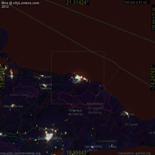
» Earth at Night: Flat Maps 2012, 2016