Banes night lights from space
Night Light of Banes (Holguín) from space (Cuba) Src. Average luminocity for 10x10km area is 9.2063% and for 50x50km: 1.4821%.
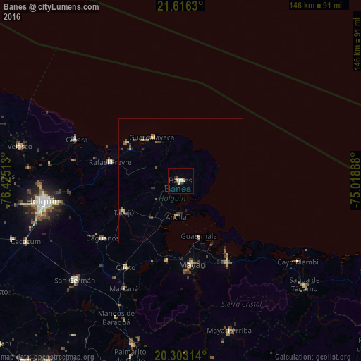
Analysis of Banes night lights 2016
Square area 10x10 km:
 0.99%
0.99%90-99
2.38%80-89
2.18%70-79
0%60-69
0.79%50-59
0.79%40-49
1.59%30-39
0%20-29
1.98%10-19
1.19%0-9
88.1%Square area 50x50 km:
0.04%90-99
0.24%80-89
0.26%70-79
0.08%60-69
0.26%50-59
0.27%40-49
0.31%30-39
0.27%20-29
0.34%10-19
0.23%0-9
97.7%Clear (daylight) street map image can be seen on geolist.org.
Map coordinates:
21° 36' 58.7" North, 76° 25' 30.5" West
20° 57' 40.2" North, 75° 43' 19.2" West
20° 18' 11.3" North, 75° 1' 8" West
Some cities around Banes sort by population:
• Holguín
56.8 km =35.3 mi,  261°
261°
• Jesús Menéndez
81.7 km =50.8 mi,  285°
285°
• San Germán
58.7 km =36.5 mi,  226°
226°
• Cacocum
67.5 km =41.9 mi,  248°
248°
• Gibara
45.6 km =28.3 mi, 291°
• Cueto
40.9 km =25.4 mi,  211°
211°
• Sagua de Tánamo
65.3 km =40.6 mi,  130°
130°
• Jobabo
60 km =37.3 mi,  270°
270°
3567869 (p: 53,104)
Sources (retrieved 2019-11-25):
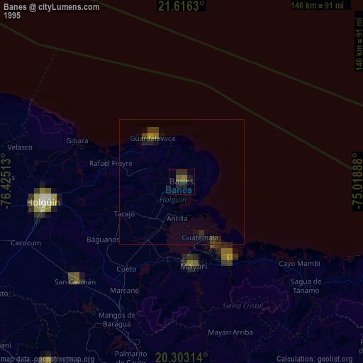
» NASA, Earths city lights 1995
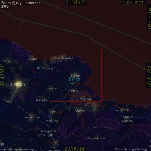
» NASA city lights 2003
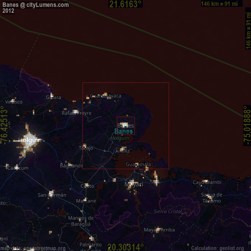
» Earth at Night: Flat Maps 2012, 2016