San Isidro night lights from space
Night Light of San Isidro (San José) from space (Costa Rica) Src. Average luminocity for 10x10km area is 38.7749% and for 50x50km: 2.7636%.
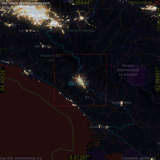
Analysis of San Isidro night lights 2016
Square area 10x10 km:
 1.08%
1.08%90-99
5.84%80-89
3.68%70-79
6.06%60-69
5.41%50-59
10.82%40-49
13.85%30-39
8.23%20-29
6.28%10-19
29.65%0-9
9.09%Square area 50x50 km:
0.04%90-99
0.52%80-89
0.3%70-79
0.25%60-69
0.28%50-59
0.5%40-49
0.76%30-39
0.66%20-29
0.59%10-19
2%0-9
94.1%Clear (daylight) street map image can be seen on geolist.org.
Map coordinates:
10° 3' 37.6" North, 84° 24' 0.9" West
9° 22' 2.6" North, 83° 41' 49.7" West
8° 40' 22.7" North, 82° 59' 38.4" West
Some cities around San Isidro sort by population:
• Paraíso
55.5 km =34.5 mi,  340°
340°
• Turrialba
59.8 km =37.2 mi,  1°
1°
• Cartago
60.4 km =37.5 mi, 336°
• Buenos Aires
45.4 km =28.2 mi,  118°
118°
• Daniel Flores
4.7 km =2.9 mi,  139°
139°
• Quepos
51.5 km =32 mi,  277°
277°
• Cot
61.7 km =38.3 mi, 341°
• Mercedes
17.2 km =10.7 mi,  132°
132°
3621889 (p: 34,877)
Sources (retrieved 2019-11-25):
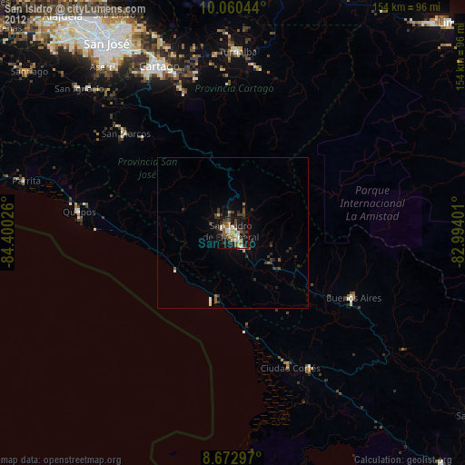
» Earth at Night: Flat Maps 2012, 2016