Quepos night lights from space
Night Light of Quepos (Puntarenas) from space (Costa Rica) Src. Average luminocity for 10x10km area is 9.5087% and for 50x50km: 0.5925%.
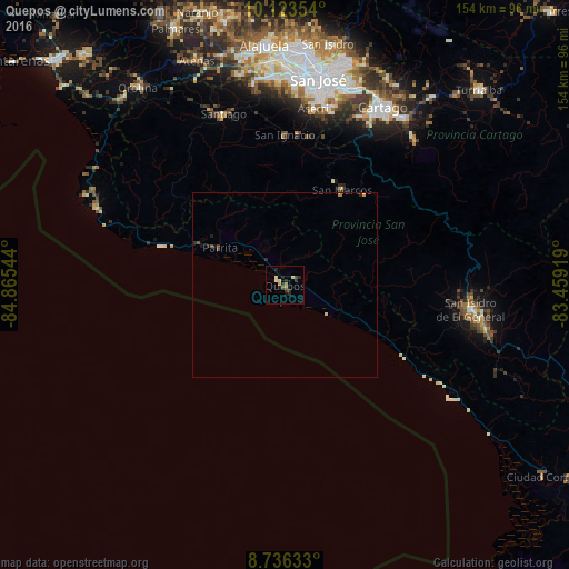
Analysis of Quepos night lights 2016
Square area 10x10 km:
 0%
0%90-99
2.81%80-89
0.65%70-79
0.87%60-69
1.73%50-59
0.87%40-49
0.87%30-39
3.03%20-29
4.55%10-19
1.08%0-9
83.55%Square area 50x50 km:
0%90-99
0.11%80-89
0.06%70-79
0.07%60-69
0.1%50-59
0.05%40-49
0.12%30-39
0.15%20-29
0.29%10-19
0.17%0-9
98.88%Clear (daylight) street map image can be seen on geolist.org.
Map coordinates:
10° 7' 24.7" North, 84° 51' 55.6" West
9° 25' 50.3" North, 84° 9' 44.3" West
8° 44' 10.8" North, 83° 27' 33.1" West
Some cities around Quepos sort by population:
• San Miguel
50.2 km =31.2 mi,  12°
12°
• San Rafael Abajo
46.7 km =29 mi,  342°
342°
• Aserrí
48.2 km =30 mi, 9°
• Tejar
36 km =22.4 mi,  347°
347°
• San Juan de Dios
50.4 km =31.3 mi, 9°
• San Rafael Arriba
50.4 km =31.3 mi, 10°
• Santiago
49.1 km =30.5 mi, 340°
• Salitrillos
47.6 km =29.6 mi, 9°
3622193 (p: 7,810)
Sources (retrieved 2019-11-25):
» Earth at Night: Flat Maps 2012, 2016