Turrialba night lights from space
Night Light of Turrialba (Cartago) from space (Costa Rica) Src. Average luminocity for 10x10km area is 20.5124% and for 50x50km: 5.3222%.
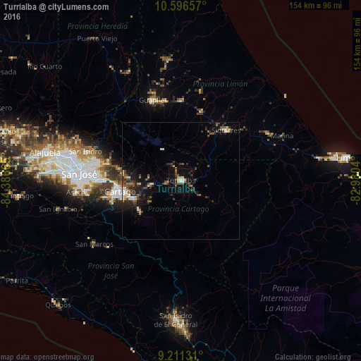
Analysis of Turrialba night lights 2016
Square area 10x10 km:
 1.86%
1.86%90-99
1.45%80-89
2.69%70-79
2.27%60-69
1.45%50-59
2.48%40-49
7.64%30-39
2.89%20-29
5.79%10-19
12.6%0-9
58.88%Square area 50x50 km:
0.35%90-99
0.81%80-89
0.45%70-79
0.4%60-69
0.57%50-59
0.68%40-49
1.37%30-39
1.37%20-29
1.93%10-19
3.32%0-9
88.75%Clear (daylight) street map image can be seen on geolist.org.
Map coordinates:
10° 35' 47.7" North, 84° 23' 11.9" West
9° 54' 16.8" North, 83° 41' 0.7" West
9° 12' 40.7" North, 82° 58' 49.4" West
Some cities around Turrialba sort by population:
• Paraíso
21.3 km =13.2 mi,  249°
249°
• Cartago
26.2 km =16.3 mi,  260°
260°
• Siquirres
28.9 km =18 mi,  42°
42°
• Concepción
34.8 km =21.6 mi,  275°
275°
• Tres Ríos
33.3 km =20.7 mi,  270°
270°
• Guácimo
34.3 km =21.3 mi,  359°
359°
• Cot
20.8 km =12.9 mi, 266°
• Pocora
30.9 km =19.2 mi,  16°
16°
3621184 (p: 28,955)
Sources (retrieved 2019-11-25):
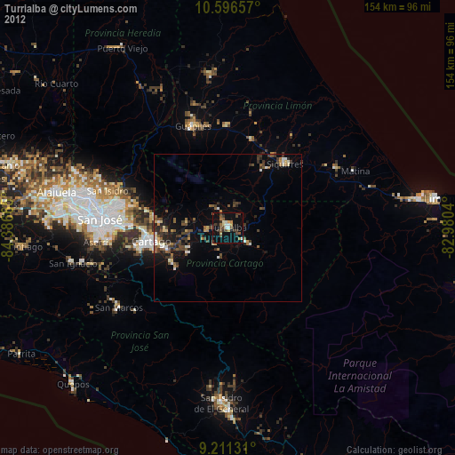
» Earth at Night: Flat Maps 2012, 2016