Paraíso night lights from space
Night Light of Paraíso (Cartago) from space (Costa Rica) Src. Average luminocity for 10x10km area is 36.0823% and for 50x50km: 16.6663%.
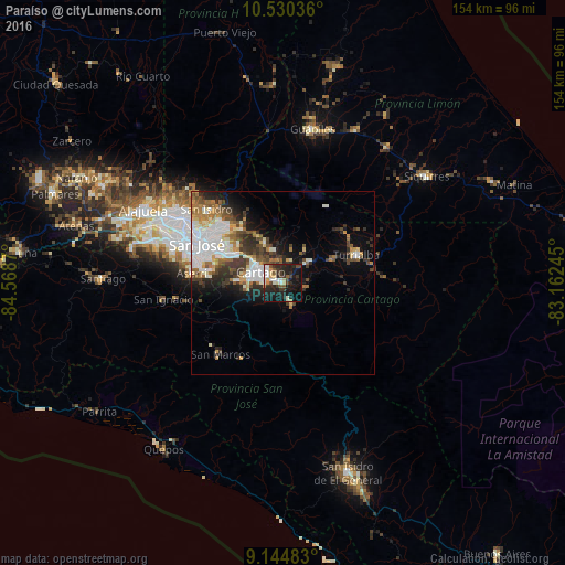
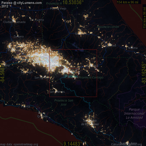
Analysis of Paraíso night lights 2016
Square area 10x10 km:
 4.98%
4.98%90-99
7.58%80-89
3.9%70-79
3.03%60-69
1.95%50-59
3.46%40-49
5.19%30-39
9.09%20-29
19.26%10-19
33.12%0-9
8.44%Square area 50x50 km:
3.98%90-99
3.39%80-89
1.44%70-79
1.44%60-69
2.15%50-59
1.8%40-49
2.58%30-39
3.03%20-29
3.79%10-19
6.21%0-9
70.18%Clear (daylight) street map image can be seen on geolist.org.
Map coordinates:
10° 31' 49.3" North, 84° 34' 7.3" West
9° 50' 18" North, 83° 51' 56.1" West
9° 8' 41.4" North, 83° 9' 44.8" West
Some cities around Paraíso sort by population:
• Curridabat
20.2 km =12.6 mi,  293°
293°
• Cartago
6.6 km =4.1 mi,  296°
296°
• Patarrá
19.2 km =11.9 mi,  284°
284°
• San Diego
16.5 km =10.3 mi, 294°
• Concepción
18.1 km =11.2 mi,  305°
305°
• Granadilla
19.7 km =12.2 mi, 302°
• Tres Ríos
15.4 km =9.6 mi, 299°
• Cot
6.3 km =3.9 mi,  352°
352°
3622547 (p: 39,702)
Sources (retrieved 2019-11-25):
» Earth at Night: Flat Maps 2012, 2016