Daniel Flores night lights from space
Night Light of Daniel Flores (San José) from space (Costa Rica) Src. Average luminocity for 10x10km area is 33.4026% and for 50x50km: 2.8133%.
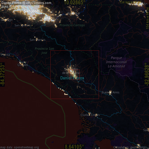
Analysis of Daniel Flores night lights 2016
Square area 10x10 km:
 1.08%
1.08%90-99
6.28%80-89
3.68%70-79
5.19%60-69
3.9%50-59
9.09%40-49
8.01%30-39
8.66%20-29
4.11%10-19
21%0-9
29%Square area 50x50 km:
0.04%90-99
0.52%80-89
0.33%70-79
0.25%60-69
0.28%50-59
0.5%40-49
0.76%30-39
0.66%20-29
0.59%10-19
2%0-9
94.06%Clear (daylight) street map image can be seen on geolist.org.
Map coordinates:
10° 1' 43.1" North, 84° 22' 21.1" West
9° 20' 7.9" North, 83° 40' 9.8" West
8° 38' 27.8" North, 82° 57' 58.6" West
Some cities around Daniel Flores sort by population:
• Paraíso
59.9 km =37.2 mi,  338°
338°
• San Isidro
4.7 km =2.9 mi,  319°
319°
• Turrialba
63.3 km =39.3 mi,  358°
358°
• Cartago
64.9 km =40.3 mi, 335°
• Buenos Aires
41 km =25.5 mi,  116°
116°
• Quepos
55.1 km =34.2 mi,  281°
281°
• Cot
66 km =41 mi, 340°
• Mercedes
12.6 km =7.8 mi,  130°
130°
3623961 (p: 10,028)
Sources (retrieved 2019-11-25):
» Earth at Night: Flat Maps 2012, 2016