Curridabat night lights from space
Night Light of Curridabat (San José) from space (Costa Rica) Src. Average luminocity for 10x10km area is 88.1591% and for 50x50km: 28.3771%.
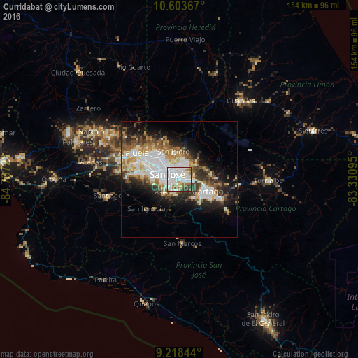
Analysis of Curridabat night lights 2016
Square area 10x10 km:
 47.31%
90-99
23.76%80-89
4.34%70-79
5.17%60-69
8.26%50-59
4.13%40-49
2.48%30-39
4.55%20-29
0%10-19
0%0-9
0%Square area 50x50 km:
7.84%90-99
5.97%80-89
2.58%70-79
2.58%60-69
3.86%50-59
3.51%40-49
3.63%30-39
3.97%20-29
5.53%10-19
9.15%0-9
51.38%Clear (daylight) street map image can be seen on geolist.org.
Map coordinates:
10° 36' 13.2" North, 84° 44' 13.9" West
9° 54' 42.4" North, 84° 2' 2.7" West
9° 13' 6.4" North, 83° 19' 51.4" West
Some cities around Curridabat sort by population:
• San Pedro
2.6 km =1.6 mi,  315°
315°
• Guadalupe
4.7 km =2.9 mi,  328°
328°
• Patarrá
3.5 km =2.2 mi,  181°
181°
• San Diego
3.7 km =2.3 mi,  112°
112°
• Concepción
4.4 km =2.7 mi,  57°
57°
• Sabanilla
3.8 km =2.4 mi,  351°
351°
• Granadilla
3.2 km =2 mi,  36°
36°
• Tres Ríos
5.1 km =3.2 mi,  96°
96°
3623977 (p: 34,586)
Sources (retrieved 2019-11-25):
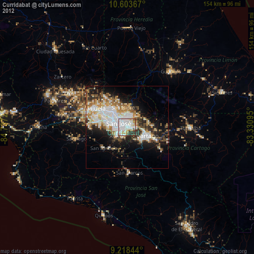
» Earth at Night: Flat Maps 2012, 2016