Toledo night lights from space
Night Light of Toledo (Norte de Santander) from space (Colombia) Src. Average luminocity for 10x10km area is 1.5368% and for 50x50km: 0.4146%.
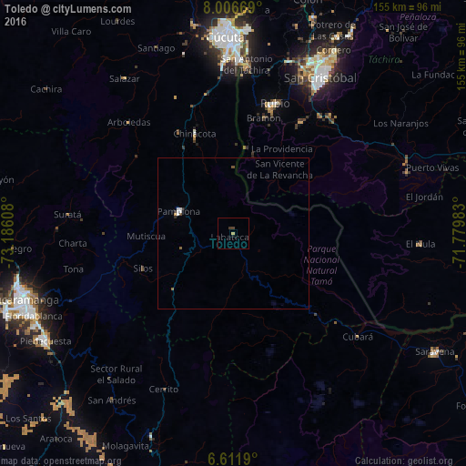
Analysis of Toledo night lights 2016
Square area 10x10 km:
 0%
0%90-99
0%80-89
0.43%70-79
0.43%60-69
0%50-59
0%40-49
0.65%30-39
1.08%20-29
0%10-19
0.87%0-9
96.54%Square area 50x50 km:
0.09%90-99
0.08%80-89
0.02%70-79
0.05%60-69
0.03%50-59
0.08%40-49
0.06%30-39
0.08%20-29
0.07%10-19
0.03%0-9
99.42%Clear (daylight) street map image can be seen on geolist.org.
Map coordinates:
8° 0' 24.1" North, 73° 11' 9.9" West
7° 18' 35.4" North, 72° 28' 58.6" West
6° 36' 42.8" North, 71° 46' 47.4" West
Some cities around Toledo sort by population:
• San Cristóbal, VE
58.2 km =36.2 mi,  29°
29°
• Villa del Rosario
58.3 km =36.2 mi,  0°
0°
• Los Patios
58.8 km =36.5 mi,  357°
357°
• Pamplona
19.6 km =12.2 mi,  291°
291°
• Rubio, VE
45.7 km =28.4 mi,  17°
17°
• San Antonio del Táchira, VE
56.3 km =35 mi, 4°
• Táriba, VE
63.4 km =39.4 mi, 26°
• Chinácota
35.5 km =22.1 mi,  338°
338°
3666959 (p: 5,911)
Sources (retrieved 2019-11-25):
» Earth at Night: Flat Maps 2012, 2016