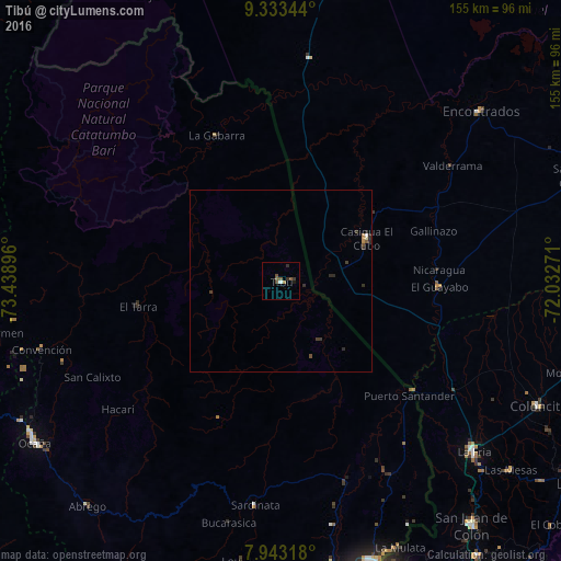
Tibú night lights from space
Night Light of Tibú (Norte de Santander) from space (Colombia) Src. Average luminocity for 10x10km area is 4.9814% and for 50x50km: 0.5859%.
Analysis of Tibú night lights 2016
Square area 10x10 km:
 0.41%
0.41%90-99
0.41%80-89
0%70-79
0%60-69
0.83%50-59
2.48%40-49
1.65%30-39
1.03%20-29
1.45%10-19
0.83%0-9
90.91%Square area 50x50 km:
0.02%90-99
0.05%80-89
0.03%70-79
0.07%60-69
0.07%50-59
0.15%40-49
0.14%30-39
0.25%20-29
0.3%10-19
0.06%0-9
98.86%Clear (daylight) street map image can be seen on geolist.org.
Map coordinates:
9° 20' 0.4" North, 73° 26' 20.3" West
8° 38' 20.2" North, 72° 44' 9" West
7° 56' 35.4" North, 72° 1' 57.8" West
Some cities around Tibú sort by population:
• Ocaña
81.5 km =50.6 mi,  236°
236°
• La Fría, VE
71.3 km =44.3 mi,  131°
131°
• Puerto Santander
47.4 km =29.5 mi, 130°
• El Zulia
79.9 km =49.6 mi,  169°
169°
• Sardinata
62.2 km =38.6 mi,  186°
186°
• Río de Oro
81.1 km =50.4 mi, 241°
• González
76.1 km =47.3 mi,  248°
248°
• El Carmen
79.6 km =49.5 mi,  259°
259°
3667202 (p: 13,565)
Sources (retrieved 2019-11-25):
» Earth at Night: Flat Maps 2012, 2016