Viterbo night lights from space
Night Light of Viterbo (Caldas) from space (Colombia) Src. Average luminocity for 10x10km area is 1.8554% and for 50x50km: 2.3023%.
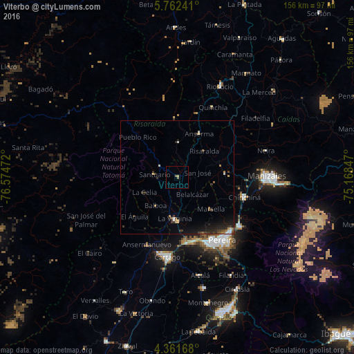
Analysis of Viterbo night lights 2016
Square area 10x10 km:
 0%
0%90-99
0%80-89
0.62%70-79
0.21%60-69
0.21%50-59
1.45%40-49
0%30-39
0%20-29
0%10-19
0%0-9
97.52%Square area 50x50 km:
0.15%90-99
0.26%80-89
0.17%70-79
0.23%60-69
0.34%50-59
0.26%40-49
0.33%30-39
0.75%20-29
0.79%10-19
1.85%0-9
94.88%Clear (daylight) street map image can be seen on geolist.org.
Map coordinates:
5° 45' 44.7" North, 76° 34' 29" West
5° 3' 44.7" North, 75° 52' 17.7" West
4° 21' 42" North, 75° 10' 6.5" West
Some cities around Viterbo sort by population:
• La Virginia
18.1 km =11.2 mi,  183°
183°
• Belén de Umbría
15.4 km =9.6 mi,  1°
1°
• Marsella
20.3 km =12.6 mi,  133°
133°
• Apía
9.3 km =5.8 mi,  302°
302°
• Santuario
10.3 km =6.4 mi,  277°
277°
• Belalcázar
9.9 km =6.2 mi,  138°
138°
• Mistrató
26 km =16.2 mi,  356°
356°
• Risaralda
16.5 km =10.3 mi,  45°
45°
3665851 (p: 15,216)
Sources (retrieved 2019-11-25):
» Earth at Night: Flat Maps 2012, 2016