Soatá night lights from space
Night Light of Soatá (Boyacá) from space (Colombia) Src. Average luminocity for 10x10km area is 1.2684% and for 50x50km: 0.2267%.
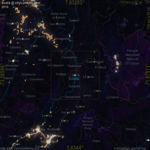
Analysis of Soatá night lights 2016
Square area 10x10 km:
 0.65%
0.65%90-99
0.22%80-89
0%70-79
0%60-69
0%50-59
0%40-49
0%30-39
0.87%20-29
0%10-19
0%0-9
98.27%Square area 50x50 km:
0.03%90-99
0.01%80-89
0.02%70-79
0.02%60-69
0.05%50-59
0.05%40-49
0%30-39
0.17%20-29
0.05%10-19
0.02%0-9
99.58%Clear (daylight) street map image can be seen on geolist.org.
Map coordinates:
7° 1' 55.3" North, 73° 23' 9.5" West
6° 20' 1.3" North, 72° 40' 58.2" West
5° 38' 3.8" North, 71° 58' 47" West
Some cities around Soatá sort by population:
• Sogamoso
74.3 km =46.2 mi,  201°
201°
• Duitama
68.7 km =42.7 mi,  214°
214°
• San Gil
56 km =34.8 mi,  296°
296°
• Málaga
41 km =25.5 mi,  352°
352°
• Socorro
65.5 km =40.7 mi,  283°
283°
• Paipa
78.1 km =48.5 mi,  217°
217°
• Santa Rosa de Viterbo
60.9 km =37.8 mi, 212°
• Belén
46 km =28.6 mi, 213°
3667901 (p: 10,945)
Sources (retrieved 2019-11-25):
» Earth at Night: Flat Maps 2012, 2016