San Gil night lights from space
Night Light of San Gil (Santander) from space (Colombia) Src. Average luminocity for 10x10km area is 12.4242% and for 50x50km: 4.0495%.
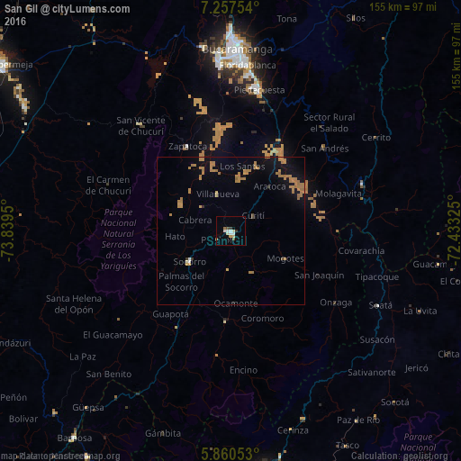
Analysis of San Gil night lights 2016
Square area 10x10 km:
 2.81%
2.81%90-99
2.81%80-89
1.3%70-79
0.87%60-69
1.08%50-59
1.52%40-49
0.87%30-39
1.52%20-29
0.22%10-19
0.65%0-9
86.36%Square area 50x50 km:
0.13%90-99
0.2%80-89
0.14%70-79
1%60-69
2.15%50-59
0.34%40-49
0.13%30-39
0.14%20-29
0.1%10-19
1.97%0-9
93.7%Clear (daylight) street map image can be seen on geolist.org.
Map coordinates:
7° 15' 27.1" North, 73° 50' 22.2" West
6° 33' 34.3" North, 73° 8' 10.9" West
5° 51' 37.9" North, 72° 25' 59.7" West
Some cities around San Gil sort by population:
• Floridablanca
56.2 km =34.9 mi,  5°
5°
• Girón
56.7 km =35.2 mi,  356°
356°
• Piedecuesta
48.6 km =30.2 mi, 11°
• Málaga
47.2 km =29.3 mi,  70°
70°
• Socorro
17 km =10.6 mi,  233°
233°
• San Vicente de Chucurí
46.8 km =29.1 mi,  319°
319°
• Soatá
56 km =34.8 mi,  116°
116°
• Zapatoca
31.9 km =19.8 mi,  332°
332°
3669808 (p: 33,592)
Sources (retrieved 2019-11-25):
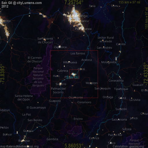
» Earth at Night: Flat Maps 2012, 2016