Soacha night lights from space
Night Light of Soacha (Cundinamarca) from space (Colombia) Src. Average luminocity for 10x10km area is 71.5186% and for 50x50km: 33.5211%.
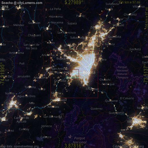

Analysis of Soacha night lights 2016
Square area 10x10 km:
 28.72%
90-99
19.63%80-89
3.93%70-79
2.69%60-69
6.2%50-59
4.96%40-49
10.54%30-39
10.54%20-29
11.98%10-19
0.83%0-9
0%Square area 50x50 km:
13.15%90-99
5.2%80-89
2.02%70-79
2.92%60-69
3.31%50-59
3.66%40-49
3.94%30-39
4.73%20-29
6.16%10-19
9.58%0-9
45.34%Clear (daylight) street map image can be seen on geolist.org.
Map coordinates:
5° 16' 47.6" North, 74° 55' 11.8" West
4° 34' 45.7" North, 74° 13' 0.6" West
3° 52' 41.4" North, 73° 30' 49.3" West
Some cities around Soacha sort by population:
• Bogotá
15.3 km =9.5 mi,  77°
77°
• Facatativá
30.2 km =18.8 mi,  329°
329°
• Funza
15.2 km =9.4 mi,  2°
2°
• Madrid
17.8 km =11.1 mi,  342°
342°
• Mosquera
14.1 km =8.8 mi,  353°
353°
• Sibaté
10.9 km =6.8 mi,  205°
205°
• Silvania
27.1 km =16.8 mi,  223°
223°
• Cota
28.8 km =17.9 mi,  27°
27°
3667905 (p: 313,945)
Sources (retrieved 2019-11-25):
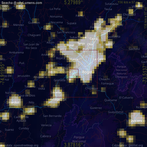
» NASA, Earths city lights 1995
» NASA city lights 2003
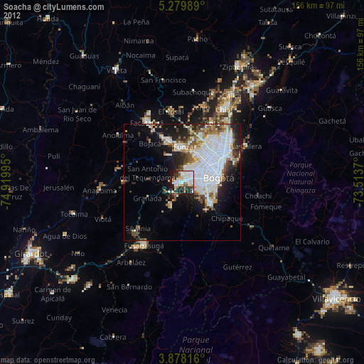
» Earth at Night: Flat Maps 2012, 2016