Funza night lights from space
Night Light of Funza (Cundinamarca) from space (Colombia) Src. Average luminocity for 10x10km area is 66.5021% and for 50x50km: 39.5448%.
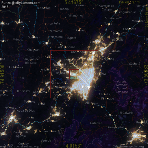
Analysis of Funza night lights 2016
Square area 10x10 km:
 13.43%
90-99
13.02%80-89
10.74%70-79
8.06%60-69
12.6%50-59
9.3%40-49
14.26%30-39
10.54%20-29
8.06%10-19
0%0-9
0%Square area 50x50 km:
13.96%90-99
6.22%80-89
2.55%70-79
4%60-69
4.17%50-59
5.21%40-49
5.25%30-39
6%20-29
7.72%10-19
11.51%0-9
33.4%Clear (daylight) street map image can be seen on geolist.org.
Map coordinates:
5° 25' 0.3" North, 74° 54' 54.3" West
4° 42' 59" North, 74° 12' 43" West
4° 0' 55.1" North, 73° 30' 31.8" West
Some cities around Funza sort by population:
• Bogotá
18.7 km =11.6 mi,  129°
129°
• Soacha
15.2 km =9.4 mi,  182°
182°
• Facatativá
19.1 km =11.9 mi,  304°
304°
• Chía
23.2 km =14.4 mi,  47°
47°
• Madrid
6.1 km =3.8 mi,  287°
287°
• Mosquera
2.3 km =1.4 mi,  240°
240°
• Cota
16.3 km =10.1 mi, 50°
• El Rosal
16.1 km =10 mi,  340°
340°
3682281 (p: 54,421)
Sources (retrieved 2019-11-25):
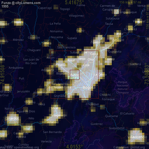
» NASA, Earths city lights 1995
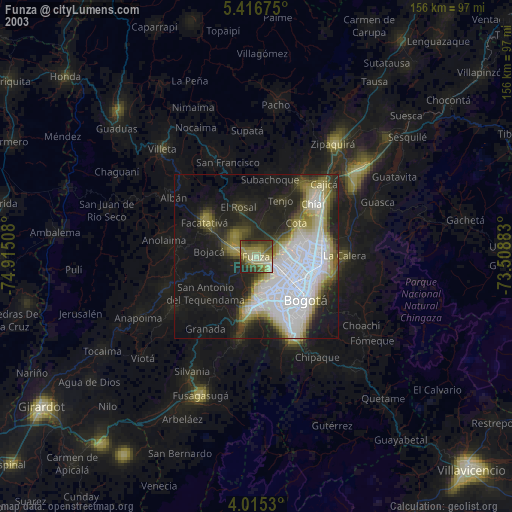
» NASA city lights 2003
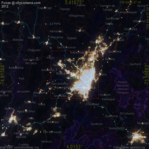
» Earth at Night: Flat Maps 2012, 2016