Chaparral night lights from space
Night Light of Chaparral (Tolima) from space (Colombia) Src. Average luminocity for 10x10km area is 8.3939% and for 50x50km: 0.3967%.
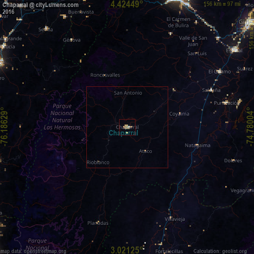
Analysis of Chaparral night lights 2016
Square area 10x10 km:
 0.65%
0.65%90-99
0.22%80-89
0.87%70-79
1.73%60-69
2.38%50-59
4.55%40-49
0%30-39
0%20-29
0.43%10-19
0.43%0-9
88.74%Square area 50x50 km:
0.03%90-99
0.01%80-89
0.03%70-79
0.09%60-69
0.11%50-59
0.18%40-49
0.03%30-39
0%20-29
0.05%10-19
0.05%0-9
99.41%Clear (daylight) street map image can be seen on geolist.org.
Map coordinates:
4° 25' 28.2" North, 76° 11' 10.6" West
3° 43' 23.3" North, 75° 28' 59.4" West
3° 1' 16.5" North, 74° 46' 48.1" West
Some cities around Chaparral sort by population:
• Natagaima
44.6 km =27.7 mi,  104°
104°
• Planadas
61.2 km =38 mi,  197°
197°
• Saldaña
56.8 km =35.3 mi,  66°
66°
• Aipe
62.1 km =38.6 mi,  153°
153°
• Ortega
37.4 km =23.2 mi,  50°
50°
• Rioblanco
28 km =17.4 mi,  219°
219°
• Playarrica
38 km =23.6 mi,  12°
12°
• San Antonio
21.2 km =13.2 mi,  0°
0°
3686793 (p: 19,982)
Sources (retrieved 2019-11-25):
» Earth at Night: Flat Maps 2012, 2016